BGS mineralogy and petrology collection record
| Sample number | S68097 |
|---|---|
| Sample Donor | Smellie,J.L. |
| Rock name | Not entered |
| Stratigraphy | Not entered |
| Comments | Sill cuts upper limestone group, Carboniferous, (Craigen-Avisyard sill complex) |
| Locality details | Boreland Borehole (NCB) IGS.127, 350m ENE of Boreland Farm, depth 87.35m |
| 50k map sheet | Ayr (14) |
| Map reference | NS 5906 1759 |
| Year collected | Not entered |
| Bore name | Not applicable |
| Confidentiality | No restrictions |
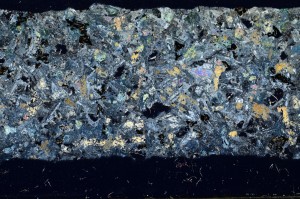
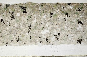
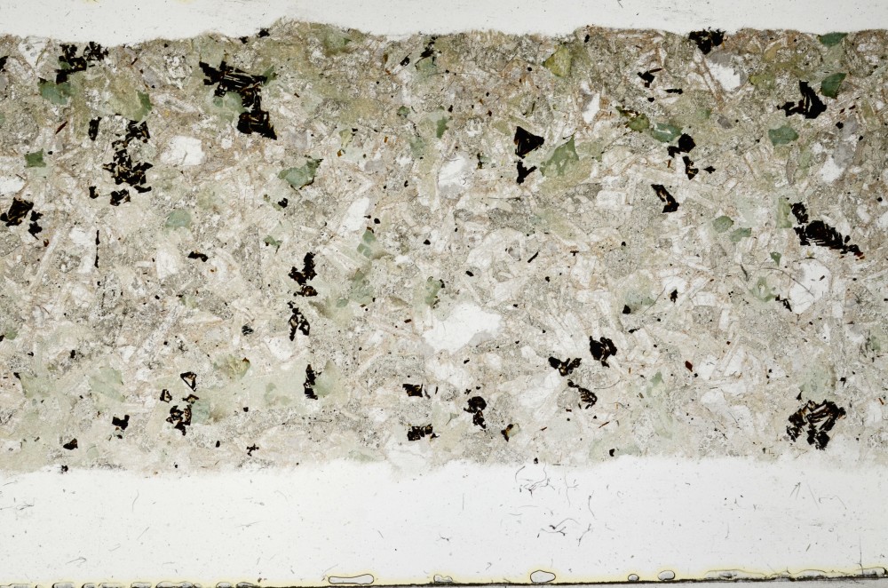
Petrological thin sections
Links to high resolution images
Transition from XPL to PPL light
S68097