BGS mineralogy and petrology collection record
| Sample number | S18601 |
|---|---|
| Sample Donor | Bailey, E.B. |
| Rock name | Not entered |
| Stratigraphy | Not entered |
| Comments | Sill |
| Locality details | Borehole, bottom of sandstone quarry E end, 0.5 miles E of Auchinweet Farm, depth 7 fathoms 1 feet 8 inches to ? |
| 50k map sheet | Ayr (14) |
| Map reference | NS 4554 2863 |
| Year collected | Not entered |
| Bore name | Not applicable |
| Confidentiality | No restrictions |
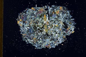
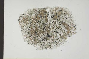
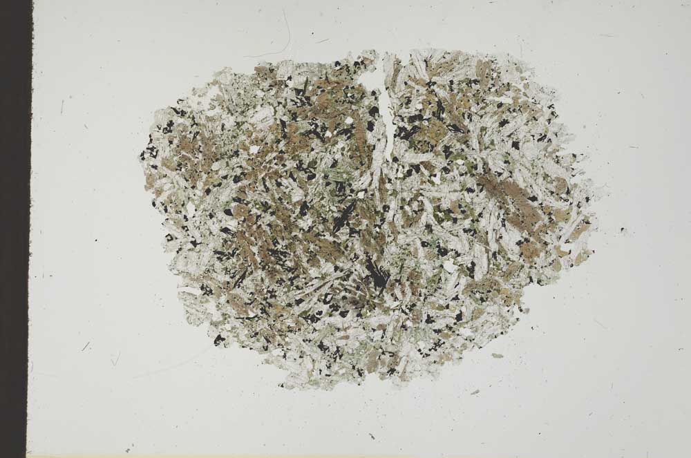
Petrological thin sections
Links to high resolution images
Transition from XPL to PPL light
S18601