BGS mineralogy and petrology collection record
| Sample number | E26543; COLLNOVW167; |
|---|---|
| Sample Donor | Wilson,V. |
| Rock name | Not entered |
| Stratigraphy | Not entered |
| Comments | Not entered |
| Locality details | Mid-Lincolnshire Ironstone Co. Bh. SN1974, close to highstand 850yds. ESE of Nrttleton Bottom Farm. (depth 146ft) |
| 50k map sheet | Brigg (89) |
| Map reference | TF 13210 97817 |
| Year collected | Not entered |
| Bore name | Nettleton Mine 1 |
| Confidentiality | No restrictions |
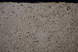
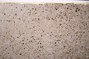
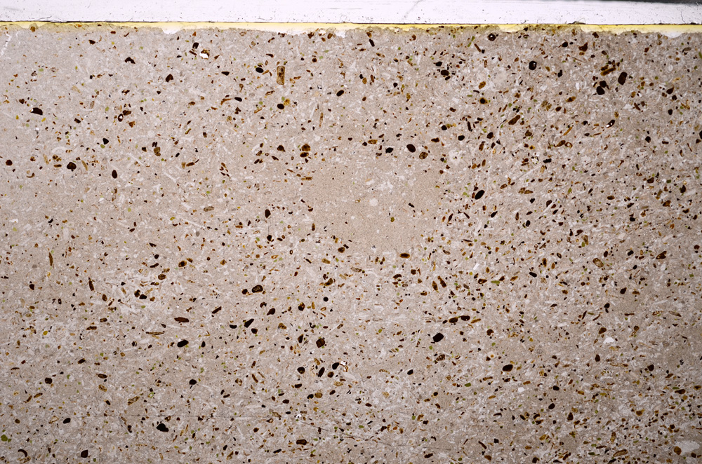
Petrological thin sections
Links to high resolution images
Transition from XPL to PPL light
E26543