BGS mineralogy and petrology collection record
| Sample number | E43614; COLLNOBCW269; LABNO2488; |
|---|---|
| Sample Donor | Worsam,B.C. |
| Rock name | Not entered |
| Stratigraphy | Not entered |
| Comments | Upper Tunbridge Wells sand Sideritic Sandstone 0.08m 600.16m thick, 01.5m below ground surface and 1.7m above a Sandstone bed, Colgate Sandstone. This rock was almost certainly the Iron ore worked in iron pits [medieval to 17th century] in the vicin |
| Locality details | Temporary exposure in SE wertrends 420m at 2550 from broadfield house and 1140m at 174d from roundabout at junction of Horsham-Crawley road 1284 and Crawley by-pass [A23] |
| 50k map sheet | Horsham (302) |
| Map reference | TQ 2598 3443 |
| Year collected | Not entered |
| Bore name | Not applicable |
| Confidentiality | No restrictions |
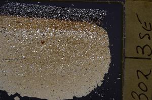
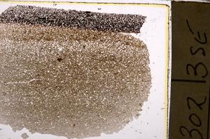
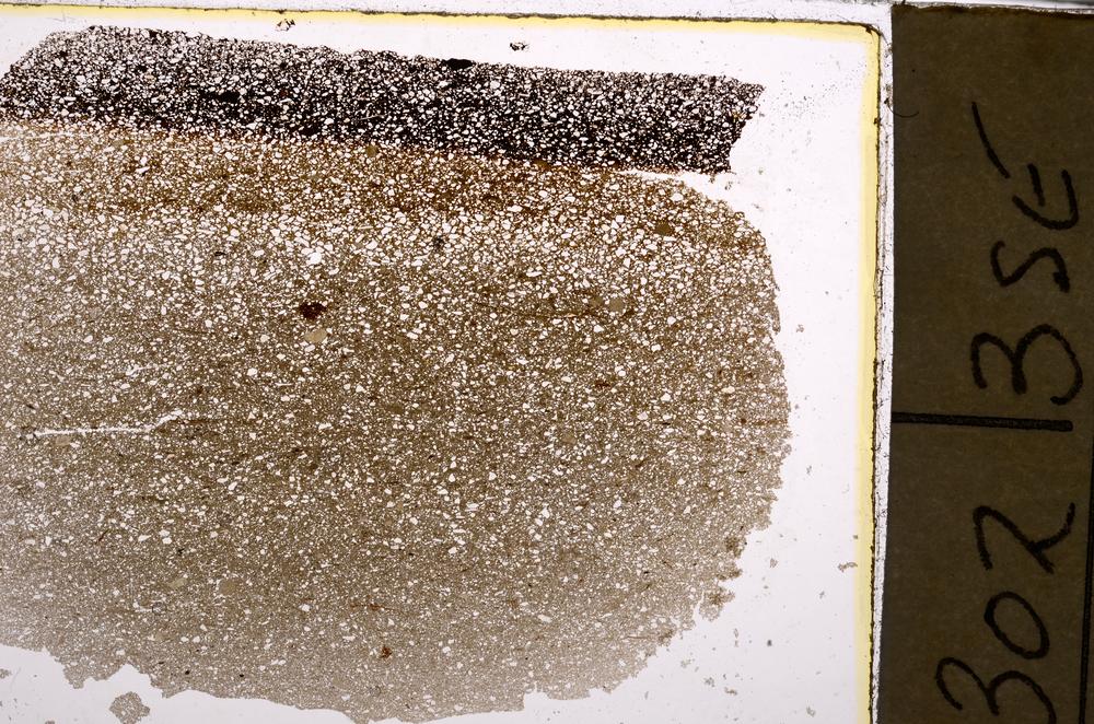
Petrological thin sections
Links to high resolution images
Transition from XPL to PPL light
E43614