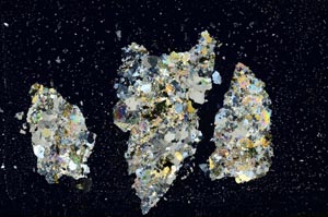
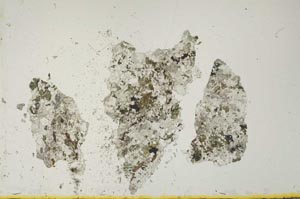
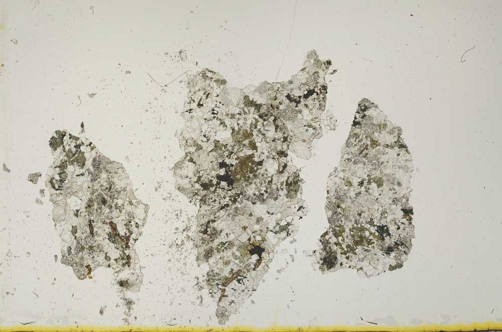
BGS mineralogy and petrology collection record
| Sample number | S1750 |
|---|---|
| Sample Donor | UNKNOWN |
| Rock name | Not entered |
| Stratigraphy | Not entered |
| Comments | Not entered |
| Locality details | Hill of Rhindbuckie, SW of Banchory |
| 50k map sheet | Banchory (66) |
| Map reference | NO 716 931 |
| Year collected | Not entered |
| Bore name | Not applicable |
| Confidentiality | No restrictions |
Petrological thin sections
Links to high resolution images
Transition from XPL to PPL light
S1750