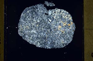
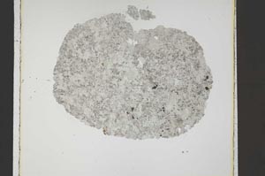
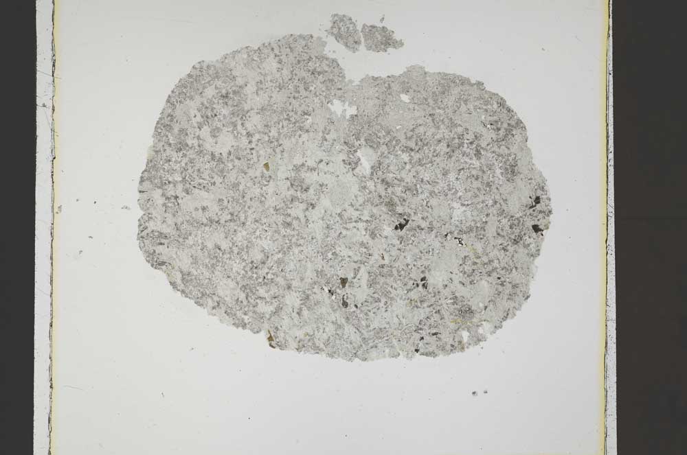
BGS mineralogy and petrology collection record
| Sample number | S42546; MR21320; |
|---|---|
| Sample Donor | Road Research Laboratory |
| Rock name | 'Original entry: Gravel' |
| Stratigraphy | Not entered |
| Comments | Mixed Aggregate. |
| Locality details | Castle Hill sand Pit, Blairgowrie |
| 50k map sheet | Blairgowrie (56) |
| Map reference | NO 165 455 |
| Year collected | 1957 |
| Bore name | Not applicable |
| Confidentiality | No restrictions |
Petrological thin sections
Links to high resolution images
Transition from XPL to PPL light
S42546