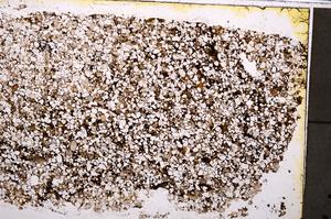
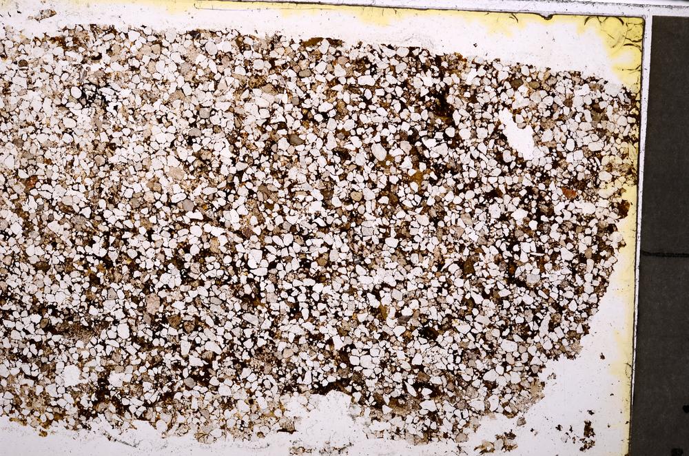
BGS mineralogy and petrology collection record
| Sample number | E39861 |
|---|---|
| Sample Donor | Worsam,B.C. |
| Rock name | Sandstone (Undifferentiated). 'Original entry: Sandstone' |
| Stratigraphy | Not entered |
| Comments | 6" Map (and quarter sheet), 31N.W.S. Loose block. Coal Measure sandstone for comparison with BCW 253 & Noira Grit. BCW 249. |
| Locality details | Top of Hanging Hill 20 yards west of Hanging Hill BH & 1480 yards east 25 degrees south of Union Lodge. |
| 50k map sheet | Loughborough (141) |
| Map reference | SK 3135 1671 |
| Year collected | Not entered |
| Bore name | Not applicable |
| Confidentiality | No restrictions |
Petrological thin sections
Links to high resolution images
Transition from XPL to PPL light
E39861