BGS mineralogy and petrology collection record
| Sample number | S96746; COLLNOSCX141; |
|---|---|
| Sample Donor | Carroll, S. |
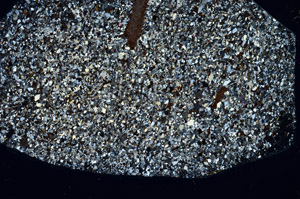
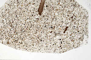
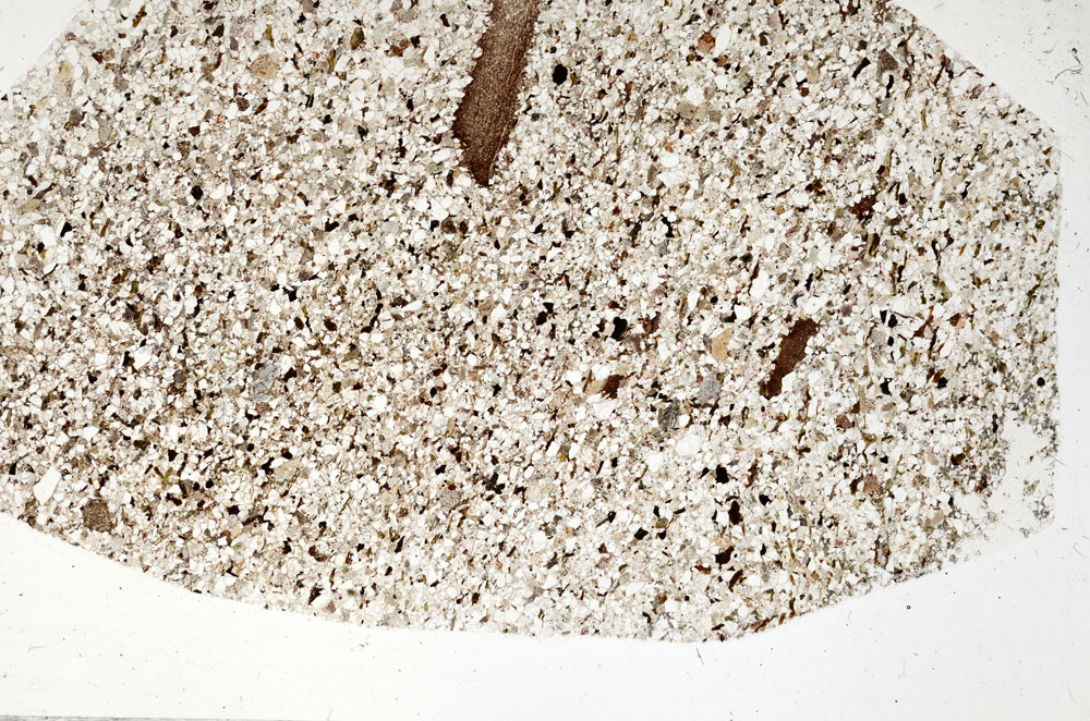
| Rock name | Sandstone (Undifferentiated). 'Original entry: Sandstone' |
| Stratigraphy | Not entered |
| Comments | Sandstone |
| Locality details | Exposure at top of overgrown quarry, E bank of Berrie Water, S of Corbie's Pot 670m 010deg from Deep Farmhouse |
| 50k map sheet | Banchory (66E) |
| Map reference | NO 7817 7845 |
| Year collected | Not entered |
| Bore name | Not applicable |
| Confidentiality | No restrictions |
Petrological thin sections
Links to high resolution images
Transition from XPL to PPL light
S96746