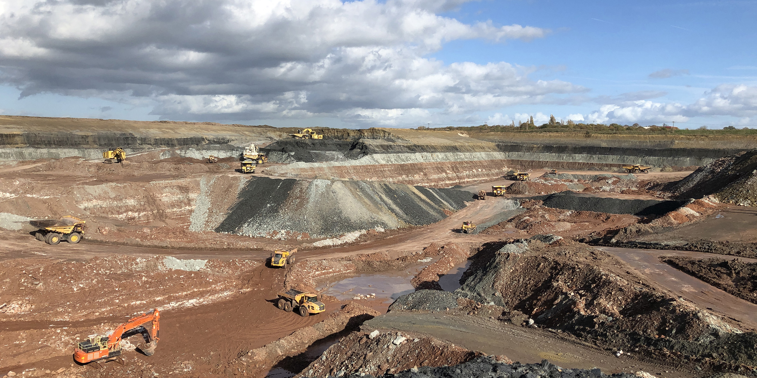
1:50 000-scale digital data of mineral resources
Digital 1:50 000-scale data of mineral resources is available as vector data in a variety of formats. This allows them to be used in GIS applications where they can be integrated with other types of spatial data to provide powerful aids to problem solving in applications such as land-use planning and Strategic Environmental Assessments. Mineral resource polygons are attributed with a variety of useful information.
Explanatory notes
Notes have been assembled to help users understand the digital map data, limitations, uses, content and background information on compilation.
Additional information for customers of:
- 1:50 000-scale digital mineral resource data: England and Wales
- 1:50 000-scale digital mineral resource data: Central Belt Scotland
Caution
Digital map data should be used at about the same scale as their original compilation; for example 1:50 000-scale data should not normally be blown up and used at 1:10 000 scale. Most geological maps were originally fitted to a particular topographic base and care must be taken in interpretation, for example when the geological data are draped on to a more recent topography.
If customers are uncertain about the use of particular data they should seek advice on their appropriateness and limitations.
Mineral resource classification
The mineral resources maps published by BGS show the geological distribution of selected mineral resources. Mineral resources are natural concentrations of minerals or bodies of rock that are or may become of potential economic interest as a basis for the extraction of a commodity. They will exhibit physical and/or chemical properties and be present in sufficient quantity to be of intrinsic economic interest. Mineral resources are thus economic as well as physical entities.
The identification and delineation of mineral resources is inevitably somewhat imprecise as it is not only limited by the quantity and quality of data currently available but also involves predicting what might or might not become economic to work in the future. The assessment of mineral resources is, therefore, a dynamic process that must take into account a range of factors. These include geological re-interpretation as additional data become available, as well as the continually evolving demand for minerals or specific qualities of minerals due to changing economic, technical and environmental factors. Consequently, areas that are of potential economic interest as sources of minerals may change with time. Criteria used to define resources, for example in terms of mineral to waste ratios, also change with location and time. Thus a mineral deposit with a high proportion of waste may be viable if located in close proximity to a major market, but uneconomic if located further away. These criteria vary depending on the quality of the information available.
The extent of mineral resources shown in these data are generally the surface expression of the resource. However, users should note that workable minerals may extend beneath overburden that is adjacent to the outcrop area shown.
The digital mineral resource data mainly show the extent of inferred mineral resources, that is, those mineral resources that can be defined from available geological information. They have neither been evaluated by drilling or other sampling methods, nor have they had their technical properties characterised, on any systematic basis. In some areas, however, the data show the extent of mineral resources where there is a greater degree of geological assurance and the tonnage and grade are computed partially from specific measurements, in this case borehole data. Such data are only given in areas assessed for sand and gravel by BGS resource surveys (the Industrial Minerals Assessment Unit, IMAU), which defined them by overburden to mineral ratios. In these areas, the possible extent of sand and gravel concealed beneath other material is shown. IMAU resource polygons are displayed on the maps in those areas where they exist.
Users should note that, at the interface between areas surveyed at different levels of detail, apparent mismatches between mineral resource linework may occur (for example, between IMAU assessed and non-IMAU assessed areas). Mismatches may also occur for other reasons.
This digital information has been produced by collation and interpretation of mineral resource data principally held by BGS. The mineral resource data presented are based on the best available information, but are not comprehensive and their quality is variable. The inferred boundaries shown are, therefore, approximate. Mineral resources defined on the map delineate areas within which potentially workable minerals may occur. These areas are not of uniform potential and also take no account of planning constraints that may limit their working. The economic potential of specific sites can only be proved by a detailed evaluation programme. Such an investigation is an essential precursor to submitting a planning application for mineral working. The individual merits of the site must then be judged against other land-use planning issues. Extensive areas are shown as having no mineral resource potential, but some isolated mineral workings may occur in these areas. The presence of these operations generally reflect very local or specific situations.
The mineral resource linework is largely derived from BGS’s 1:50 000-scale geology known as BGS Geology 50K. Where sand and gravel assessment studies have been undertaken by BGS or other organisations, the mineral resource linework is based on digitised 1:25 000-scale mineral assessment maps, where these are available.
The purpose of this digital information is to show the broad distribution of those mineral resources that may be of current or potential economic interest. These data are intended to assist in the consideration and preparation of development plan policies in respect of mineral extraction and the protection of important mineral resources against sterilisation.
Licence fees
Please contact us for further information or a quote for licensing digital mineral resource or mineral planning permission data.
- Email the minerals team (minerals@bgs.ac.uk)
- Phone: +44(0)1159 363 494
Contacts
For further information on BGS Geology 50K, please contact the following as appropriate:
Availability of data, ordering details and technical enquiries
Digital Data Delivery Team
British Geological Survey
Nicker Hill
Keyworth
Nottinghamshire
NG12 5GG
Tel: 0115 936 3224
Email the digital data delivery team (digitaldata@bgs.ac.uk)
Licensing of BGS digital materials
Digital data licensing and resellers, along with contact details.
Enquiries concerning mineral resource information
Dr Joseph Mankelow
British Geological Survey
Nicker Hill
Keyworth
Nottinghamshire
NG12 5GG
Tel: 0115 936 3582
Contact Joseph Mankelow
BGS digital map products
Further information relating to BGS digital map products with links to the different kinds of digital map, their availability and how to obtain them, their use and explanatory notes.
BGS Rock Classification Scheme, with downloadable map symbols and ornaments.
Feedback
BGS welcomes feedback from users of its digital data: email Digital Data Delivery Team (digitaldata@bgs.ac.uk) with your comments.
You may also be interested in
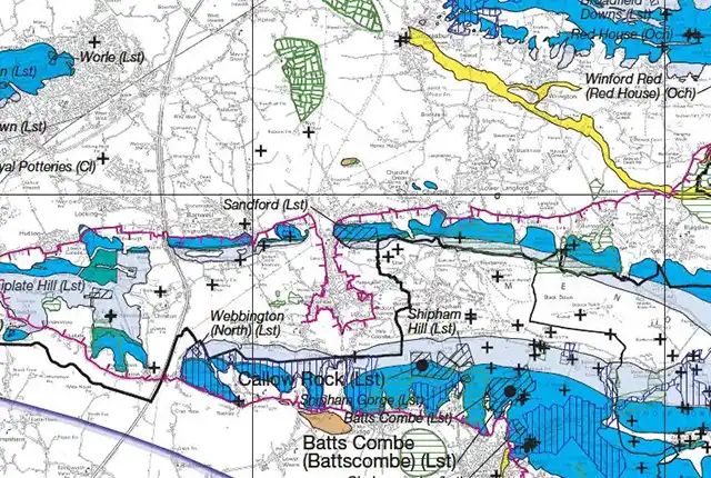
Maps
Minerals Information Online provides online access to minerals-related data and information based on digitally generated mineral resources maps.
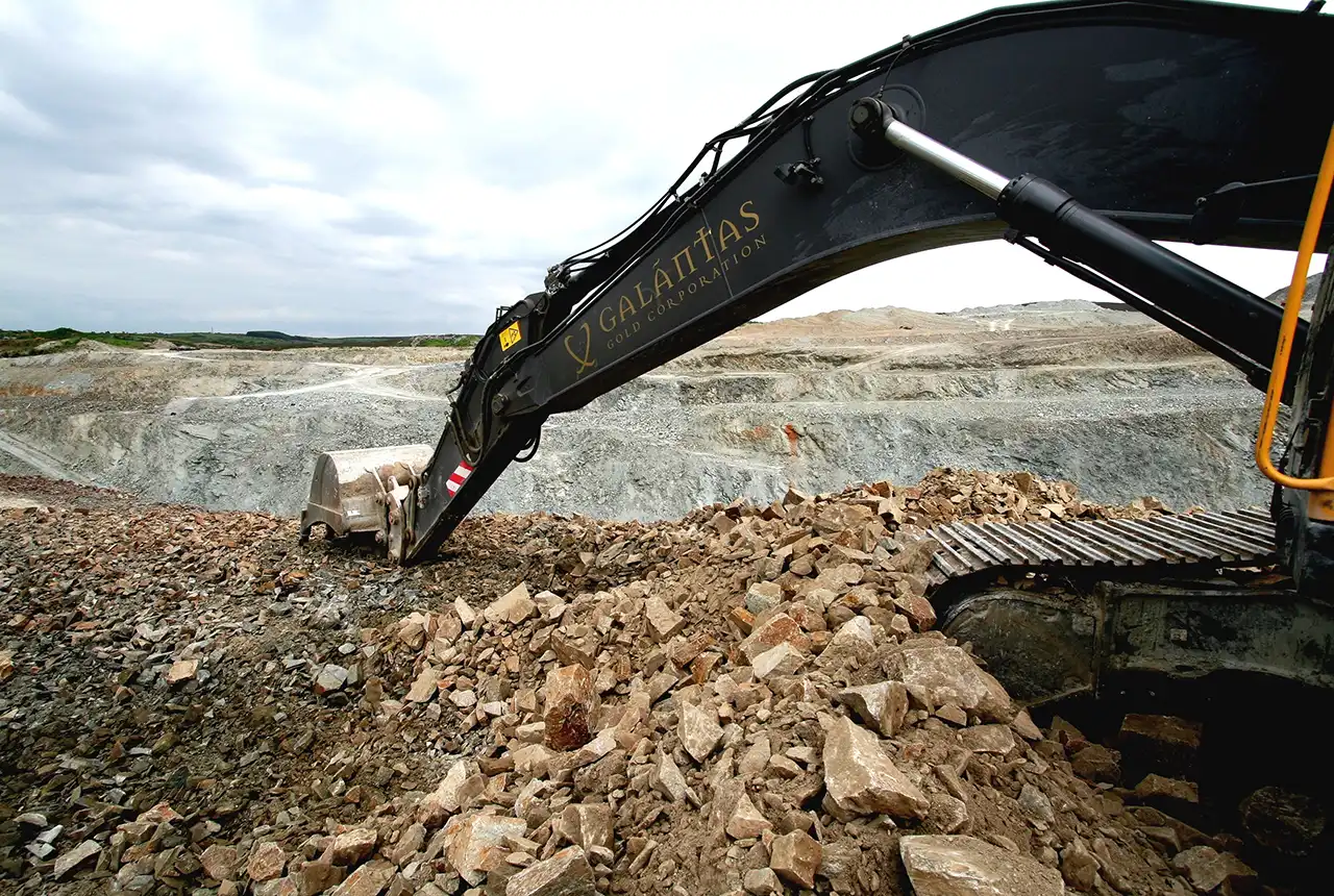
Legacy exploration publications
Brochures and guides covering baryte, copper, gemstones, gold, lead and zinc, and nickel and platinum.
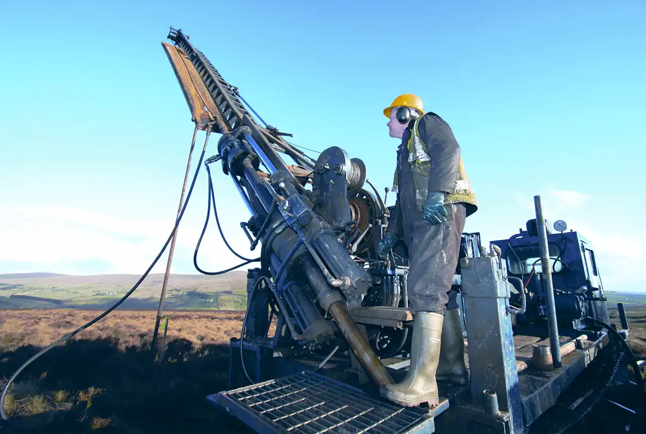
Mineral Reconnaissance Programme (MRP) reports
The Mineral Reconnaissance Programme (MRP) provided geological, geochemical, geophysical, mineralogical and metallogenic information on prospective areas in Britain.
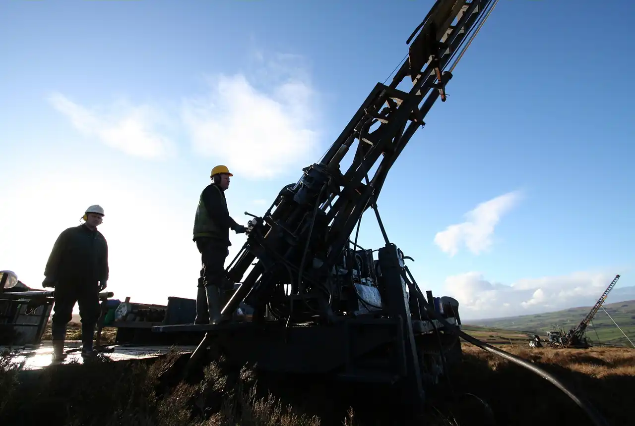
History of exploration in the UK
Exploration for metalliferous minerals in Britain from the 1950s to the late 1990s was undertaken by a wide range of commercial companies and by BGS on behalf of the UK Government.

