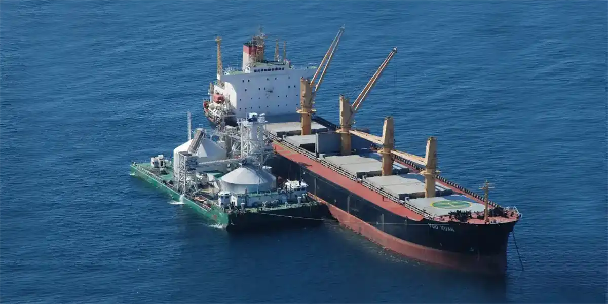
The UK has one of the largest dredging industries in the world. Marine-sourced aggregates make a vital contribution to UK aggregate supply for the construction sector, coastal protection and land reclamation. However, activities on the UK continental shelf (UKCS) are currently undergoing significant change due to a changing planning regime, brought about by the Marine and Coastal Access Act 2009 and the Marine (Scotland) Act 2010, and increased pressure on the seabed from new developments, such as renewable energy. As a result, The Crown Estate (TCE), as owners of these resources, has commissioned BGS to produce maps of sand and gravel, as well as other mineral resources such as coal, metallic minerals and evaporites for the UKCS, to enhance understanding of the distribution of marine mineral resources. These maps provide spatial data for use in strategic planning for marine minerals and form an accessible information base to assist protection of these non-renewable resources against sterilisation.
A series of five maps and accompanying reports is available to download from the BGS website, covering:
- east inshore and east offshore marine plan areas, Southern North Sea
- the English Channel and the Thames estuary
- Welsh waters and the Irish Sea
- Scottish waters and the Central North Sea
- a summary map for the UKCS
The maps display information on sand and gravel resources at a 1:250 000 scale. Information on other mineral resources can be found in the accompanying reports.
You may also be interested in
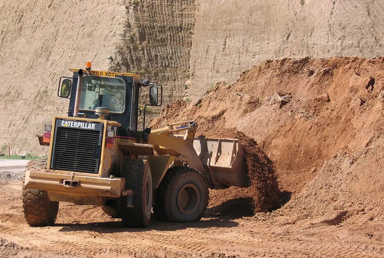
Construction minerals planning
Information on construction minerals, such as aggregates, produced in the UK
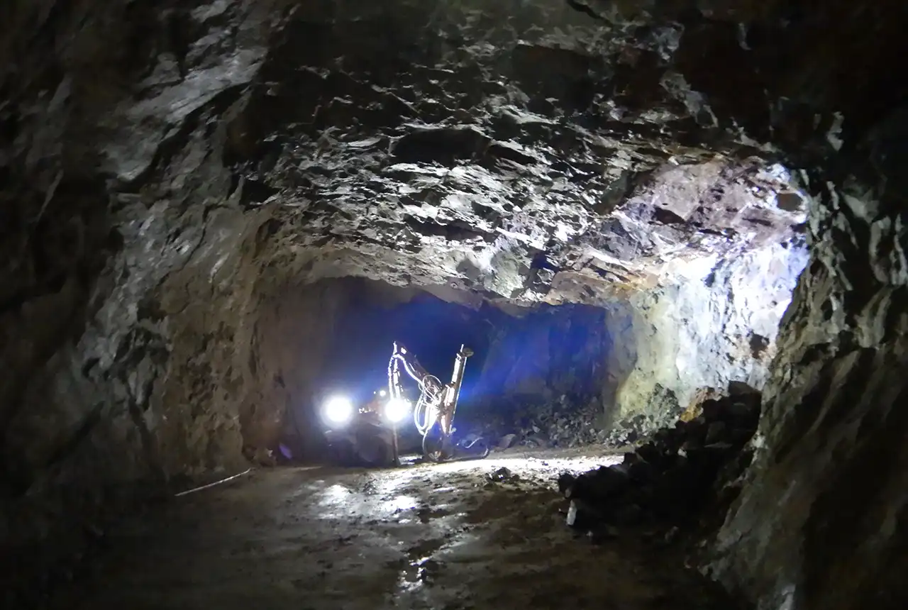
Industrial minerals planning
Industrial minerals are vital to a modern economy: they underpin manufacturing industry, construction and agriculture and have important environmental applications.
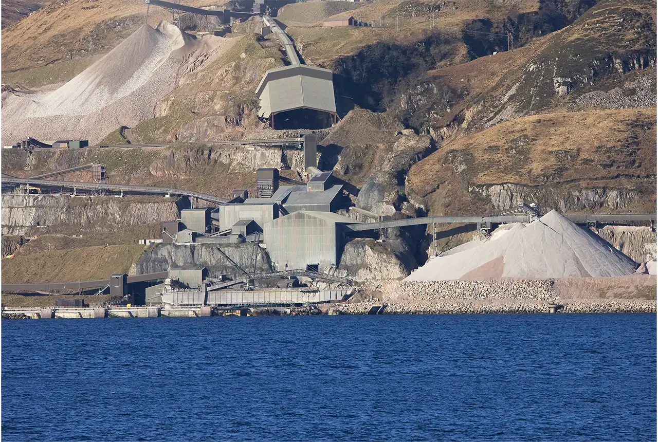
Onshore maps
This series of maps include details on the geological distribution of onshore mineral resources, extraction sites, extent of planning permission and nature-conservation designations.
Legislation and policy
Most forms of development in the UK, including mineral extraction and related activities, require planning permission before development can take place.

