The Mineral Reconnaissance Programme (MRP) provided geological, geochemical, geophysical, mineralogical and metallogenic information on prospective areas in Britain. Work was carried out at various scales, from regional reconnaissance surveys or appraisal to the drilling of a geochemical or geophysical anomaly. Projects were multidisciplinary and used a combination of tried-and-tested methods alongside innovative techniques arising from research and development programmes. By the end of the programme in 1997, 146 MRP reports had been issued covering localities across the UK, which are now available to download for free. Sixteen data releases are also available.
You can also view the MRP data on the BGS Onshore GeoIndex map viewer. Please note, you will need to zoom in as the data is only visible at scales between 1:40 000 and 1:600 000.
You may also be interested in
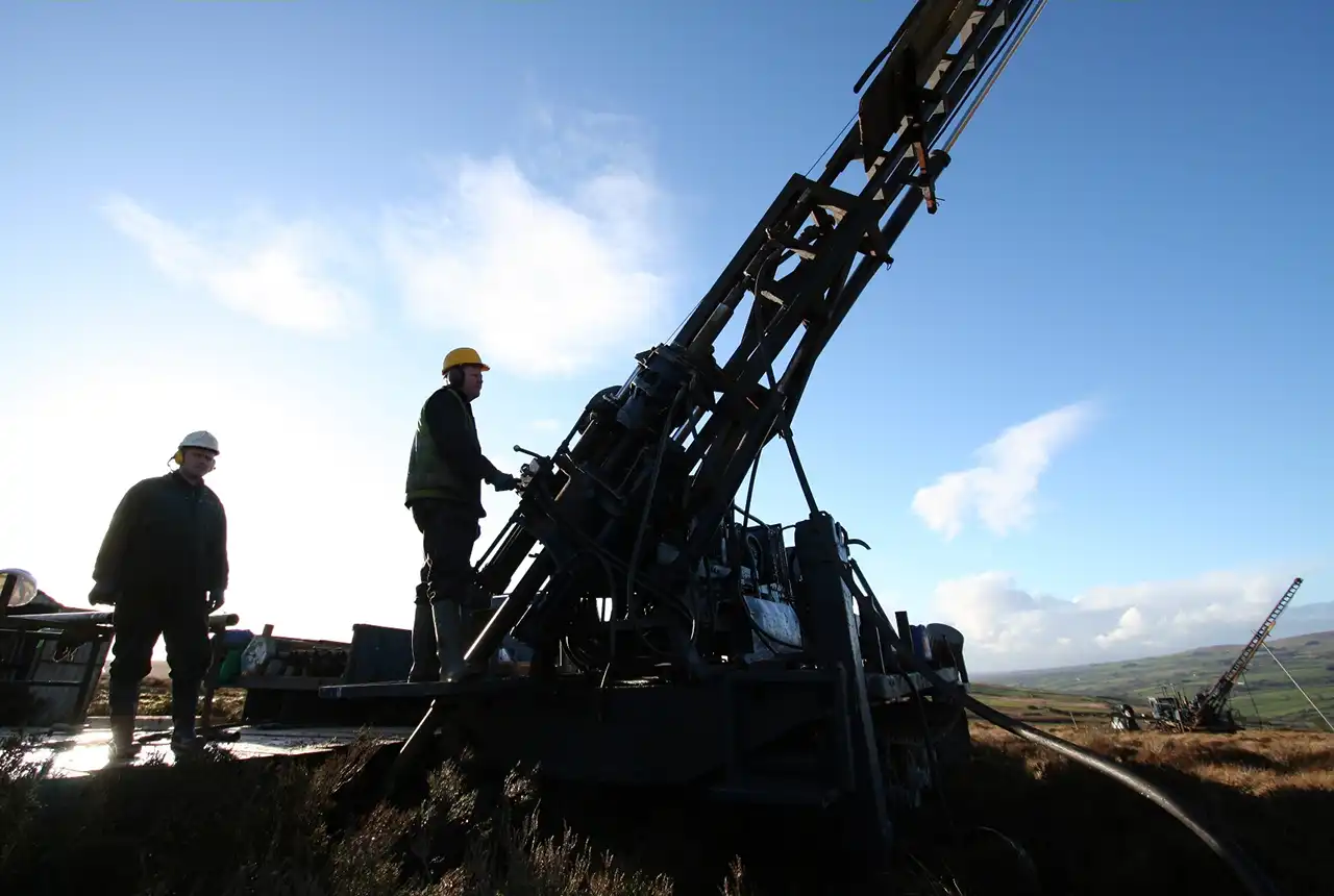
History of exploration in the UK
Exploration for metalliferous minerals in Britain from the 1950s to the late 1990s was undertaken by a wide range of commercial companies and by BGS on behalf of the UK Government.
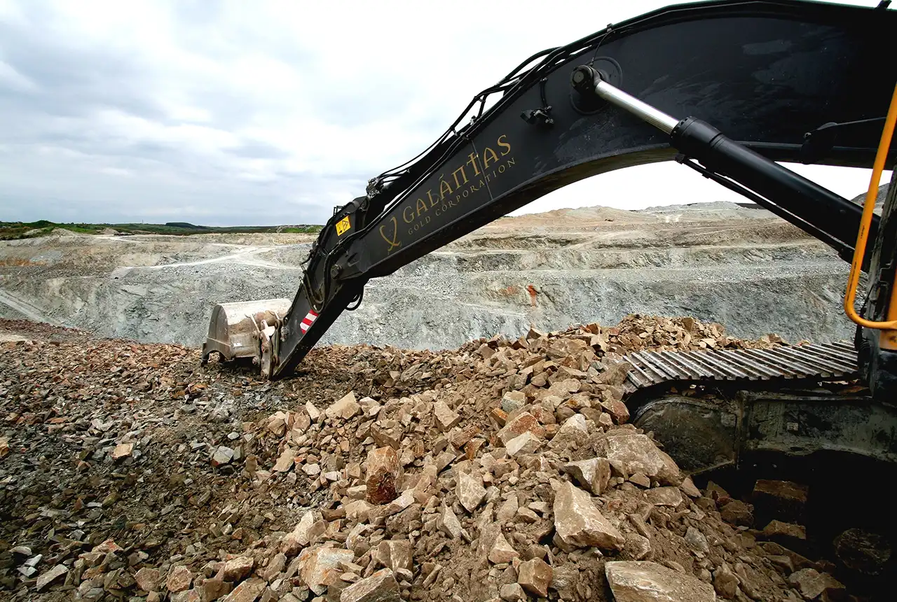
Legacy exploration publications
Brochures and guides covering baryte, copper, gemstones, gold, lead and zinc, and nickel and platinum.
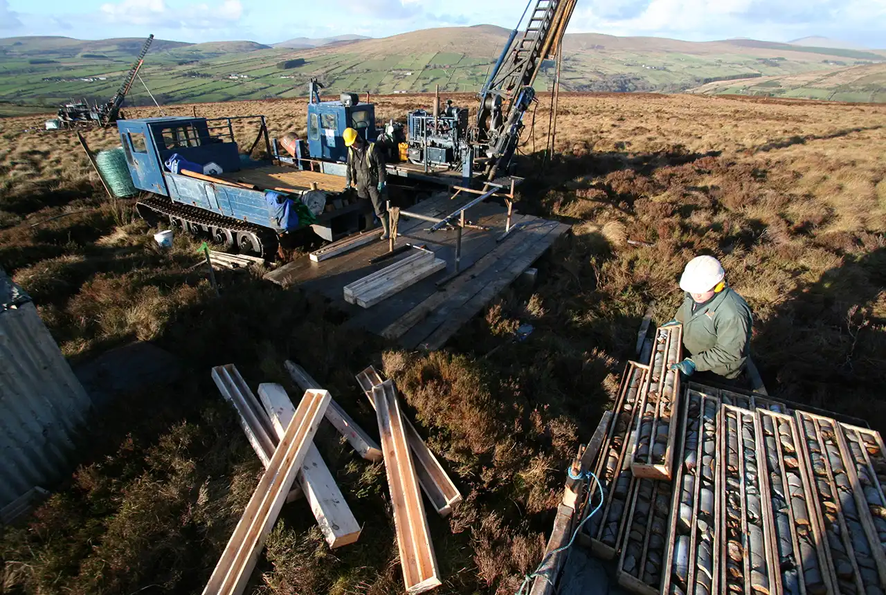
Techniques
During the Mineral Reconnaissance Programme (MRP), BGS evaluated and applied a wide range of techniques to exploration for many deposit types in Britain.
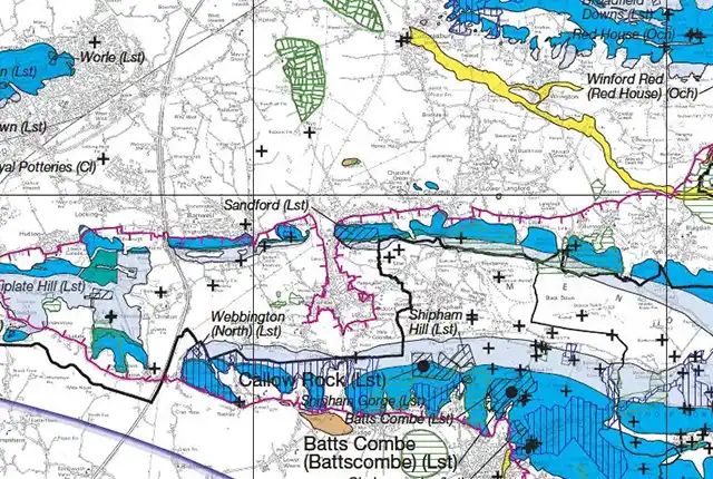
Maps
Minerals Information Online provides online access to minerals-related data and information based on digitally generated mineral resources maps.

