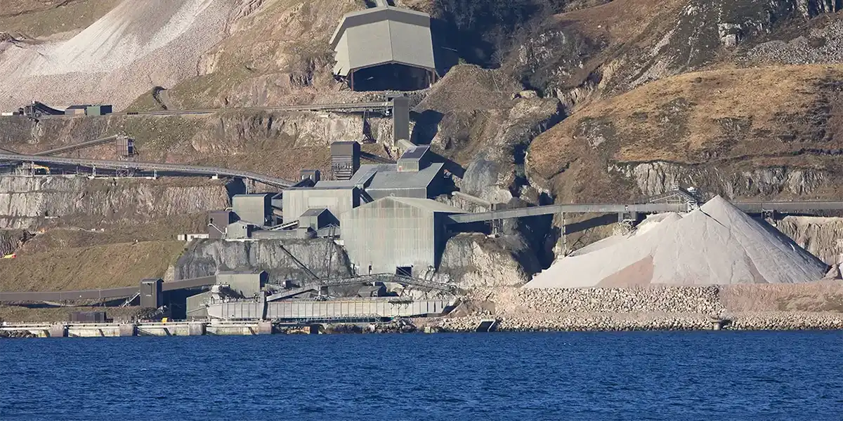
Minerals are essential for the development of a modern economy, but their extraction is subject to environmental and other constraints. Bringing together minerals, environmental and other land-use information in an integrated system allows more effective and sustainable management strategies to be developed.
- mineral resource maps in England and parts of South Wales
- mineral resource maps in Northern Ireland
- mineral resource maps in Scotland
- mineral resource maps in Wales
- aggregates safeguarding maps in Wales
Mineral resource maps in England and parts of South Wales
The BGS was commissioned by the Office of the Deputy Prime Minister (now the Ministry of Housing, Communities and Local Government), through the research project ‘Mineral resource information in support of national, regional and local planning’, to prepare a series of ‘county’ mineral resource maps. This work was completed in early 2006 and a series of digitally generated maps at a scale of 1:100 000 are available. These maps cover 44 administrative areas or groups of administrative areas, giving information for the whole of England and parts of South Wales.
Four major elements of information are presented on the summary maps:
- the geological distribution of all onshore mineral resources
- the location of mineral extraction sites
- the extent of mineral planning permissions and licences for coal extraction
- the extent of selected landscape and nature-conservation designations (National Parks, AONBs, SSSIs, NNRs and scheduled monuments)
A primary objective was to produce baseline data in a consistent format that can be updated, revised and customised to suit planning needs, including for use in the preparation of mineral development plan documents and regional spatial strategies.
All the data on the ‘county maps’ has been merged to produce an online minerals information GIS for each English region. The maps and associated reports can be downloaded:
| Region | County | Product(s) | Published | Reference |
|---|---|---|---|---|
| East Midlands | Derbyshire | Derbyshire Report | Derbyshire Map | 1995 | WF/95/3 |
| East Midlands | Leicestershire, City of Leicester and Rutland | Info Report | Info Map | 2002 | CR/02/24/N |
| East Midlands | Lincolnshire | Info Report | Info Two maps: North and south | 2003 | CR/02/128N |
| East Midlands | Northamptonshire | Info Report | Info Map | 2000 | WF/00/4 |
| East Midlands | Nottinghamshire and City of Nottingham | Info Report | Info Map | 2002 | CR/02/23/N |
| East Midlands | Peak District National Park | Info Report | Info Map | 1995 | WF/95/4 |
| County | Products | Date published | Reference number |
|---|---|---|---|
| Bedfordshire | Report Map | 1995 | WF/95/2 |
| Cambridgeshire (comprising Cambridgeshire and the City of Peterborough) | Report Map | 2003 | CR/02/131N |
| Essex (comprising Essex, Southend-on-Sea, Thurrock, London Boroughs of Barking and Dagenham, Havering, Redbridge and Waltham Forest) | Report Map | 2002 | CR/02/127N |
| Hertfordshire and north-west London boroughs | Report Map | 2003 | CR/03/075/N |
| Norfolk | Report Map | 2004 | CR/03/174N |
| Suffolk | Report Map | 2003 | CR/03/076N |
| County | Products | Date published |
|---|---|---|
| London boroughs | Map | 2003 |
| County | Products | Date published | Reference number |
|---|---|---|---|
| Durham and Tees Valley | Report Map |
2000 | WF/00/6 |
| Northumberland and Tyne and Wear | Report Two maps: North and south |
2000 | WF/00/5 |
| County | Products | Date published | Reference number |
|---|---|---|---|
| Cheshire (comprising Cheshire, Boroughs of Halton and Warrington) | Report Map |
2006 | CR/05/090N |
| Cumbria and Lake District | Report Three maps: Sand and gravel north and south – Other resources | 2001 | WF/01/02 |
| Greater Manchester (comprising Cities of Manchester and Salford and Metropolitan Boroughs of Bolton, Bury, Oldham, Rochdale, Stockport, Tameside, Trafford and Wigan) | Report Map |
2006 | CR/05/182N |
| Lancashire (comprising Lancashire and Boroughs of Blackpool and Blackburn with Darwen) | Report Map |
2006 | CR/05/144N |
| Merseyside (comprising City of Liverpool and Boroughs of Knowsley, Sefton, St Helens and Wirral) | Report Map |
2005 | CR/05/129N |
| County | Products | Date published | Reference number |
|---|---|---|---|
| Berkshire (comprising West Berkshire, Reading, Wokingham, Windsor and Maidenhead, Bracknell Forest and Slough) | Report Map |
2004 | CR/03/074N |
| Buckinghamshire and Milton Keynes | Report Map |
2004 | CR/03/77N |
| East Sussex (comprising Brighton & Hove and East Sussex) | Report Map |
2002 | CR/02/126N |
| Hampshire (comprising Hampshire, City of Portsmouth and City of Southampton) | Report Map |
2003 | CR/02/129N |
| Isle of Wight | Report Map |
2002 | CR/02/130N |
| Kent (comprising Kent, Medway and London Boroughs of Bexley and Bromley) | Report Map |
2003 | CR/02/125N |
| Oxfordshire | Report Map |
2004 | CR/04/62N |
| Surrey (comprising Surrey and the London Boroughs of Croydon, Hounslow, Kingston upon Thames, Richmond upon Thames and Sutton) | Report Map |
2003 | CR/03/073N |
| West Sussex | Report Map |
1998 | WF/98/5 |
| County | Products | Date published | Reference number |
|---|---|---|---|
| Cornwall | Report Map |
1997 | WF/97/11 |
| Devon (comprising Devon, Plymouth, Torbay, Dartmoor National Park and part of Exmoor National Park) | Report Two maps: North and south |
2006 | CR/05/096N |
| Dorset, Bournemouth and Poole | Report Map |
2001 | WF/01/01 |
| Gloucestershire (comprising Gloucestershire and South Gloucestershire) | Report Map |
2006 | CR/05/105N |
| Somerset (comprising Somerset, North Somerset, Bath and North East Somerset, the City of Bristol, and part of Exmoor National Park) | Report Map |
2005 | CR/04/214N |
| Wiltshire (comprising Wiltshire and the Borough of Swindon) | Report Map |
2004 | CR/04/049N |
| County | Products | Date published | Reference number |
|---|---|---|---|
| Herefordshire and Worcestershire | Report Map | 1999 | WF/99/4 |
| Shropshire | Report Two maps: Sand and gravel; other minerals | 1998 | WF/98/6 |
| Staffordshire | Report Two maps: Sand and gravel resources Mineral resources (other than sand and gravel) | 1995 | WF/95/5 |
| Warwickshire | Report Map | 1999 | WF/99/2 |
| West Midlands | Report Map | 1999 | WF/99/3 |
| County | Products | Date published | Reference number |
|---|---|---|---|
| Humberside (comprising East Riding of Yorkshire, North Lincolnshire, North East Lincolnshire and City of Kingston upon Hull) | Report Map | 2005 | CR/04/227N |
| North Yorkshire (comprising North Yorkshire, Yorkshire Dales and North York Moors National Parks and City of York) | Report Two maps: East and west | 2006 | CR/04/228N |
| South Yorkshire (comprising Metropolitan Boroughs of Barnsley, Doncaster and Rotherham and City of Sheffield) | Report Map | 2006 | CR/04/173N |
| West Yorkshire (comprising Metropolitan Boroughs of Bradford, Calderdale, Kirklees and Wakefield and City of Leeds) | Report Map | 2006 | CR/04/172N |
| Region | Product(s) | Published | Reference |
| Mineral resource information for development plans : phase one : South Wales : resources and constraints
|
Report
Minerals resources (other than coal) – Map
|
1997 | WF/97/010 |
Mineral resource maps in Northern Ireland
Following a commission from the Department of the Environment, BGS and its counterpart the Geological Survey of Northern Ireland (GSNI) produced a mineral resources map of Northern Ireland. The map is intended to assist strategic decision making in respect of mineral extraction and the protection of important mineral resources against sterilisation. Six digitally generated maps at a scale of 1:100 000 scale are now available:
Mineral resource maps in Scotland
BGS was awarded a grant from the Scottish Government Aggregates Levy Fund in 2007 to provide a comprehensive, relevant and accessible information base to enhance the sustainability of mineral resources for 18 local authorities in the central belt of Scotland. BGS co-funded this project through its Sustainable Mineral Solutions project. This work was completed in March 2008. A guide to minerals information in the central belt of Scotland and a series of found digitally generated maps at a scale of 1:100 000 are available:
- Mineral resource map for Clackmannanshire, Fife and Falkirk
- Mineral resource map for East Lothian, Midlothian, West Lothian and City of Edinburgh
- Mineral Resource map for North Ayrshire, East Ayrshire and South Ayrshire
- Mineral resource map for Inverclyde, West Dunbartonshire, East Dunbartonshire, Renfrewshire, East Renfrewshire, North Lanarkshire, South Lanarkshire and City of Glasgow
Mineral resource maps in Wales
BGS was awarded a grant from the Welsh Government-administered Aggregates Levy Sustainability Fund for Wales in 2009 to provide a comprehensive, relevant and accessible information base to enhance the sustainability of mineral resources in Wales. BGS co-funded this project through its Sustainable Mineral Solutions team, part of the Minerals and Waste science programme. This work, which was led from the BGS Cardiff office, was completed in July 2010. The mineral resource maps of Wales and a series of six digitally generated maps at a scale of 1:100 000 are now available:
Aggregates safeguarding maps in Wales
As mineral resources are finite and not evenly distributed, knowledge about their whereabouts is essential for making effective and sustainable planning decisions that consider the needs of future generations. Access to mineral resources can be prevented or restricted (sterilised) by non-mineral development and the process of ‘mineral safeguarding’ ensures that this does not occur unnecessarily when planning applications are determined. An effective safeguarding system requires the adoption of ‘mineral safeguarding areas’ and the adoption of suitable policies through which development is managed in these areas.
The aggregates safeguarding maps have been compiled to assist mineral planning authorities (MPAs) in the delineation of aggregates safeguarding areas in local development plans. The aggregates safeguarding maps of Wales and a series of six digitally generated maps at a scale of 1:100 000 are now available:
You may also be interested in
Mineral planning factsheets
BGS has produced a series of mineral planning factsheets covering economically important minerals that are extracted in Britain.
Offshore maps
A series of maps displaying various mineral resources in offshore regions around the UK
UK mineral ownership
Information about state and private ownership of minerals in the UK
Legislation and policy
Most forms of development in the UK, including mineral extraction and related activities, require planning permission before development can take place.

