Minerals Information Online
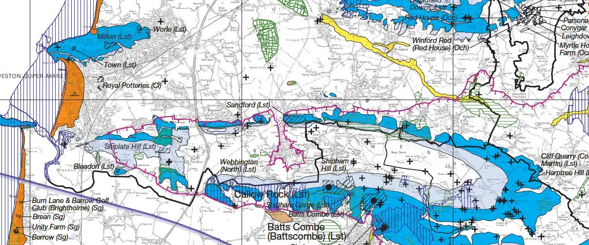
Minerals Information Online provides online access to minerals-related data and information. It is intended as a decision-support system for land-use planning at the local and regional scale. The data are based on the digitally generated mineral resources maps, which can be purchased or freely downloaded.
Users can select and display a wide range of spatial data including mineral resources, mineral planning permissions (licences) (in England only) and environmental designations. Information related to individual sites can be displayed and users can drill down to obtain all information held on a point location.
The display of some of these data is scale dependent. However, detailed digital GIS data and associated attribute information for mineral resources shown on this site are available under licence from BGS.
Other datasets displayed on this GIS may be available for licensing from the following third party data providers:
- The Coal Authority (Coal Licence areas [underground and surface]; areas of extracted opencast coal)
- Natural England (Areas of Outstanding Natural Beauty; Sites of Special Scientific Interest; National Nature Reserves; Special Areas of Conservation; Special Protection Areas; Ramsar Sites)
- Natural Resources Wales (Areas of Outstanding Natural Beauty; Sites of Special Scientific Interest; National Nature Reserves; Special Areas of Conservation; Special Protection Areas; Ramsar sites)
- Historic England or Historic Environment Scotland (Scheduled Monuments)
- NatureScot (National Nature Reserves; National Parks; Sites of Special Scientific Interest in Scotland Ramsar; Special Protection Areas; Special Areas of Conservation)
- Scottish Government (National Scenic Area Boundaries)
You may also be interested in
Digital licensing
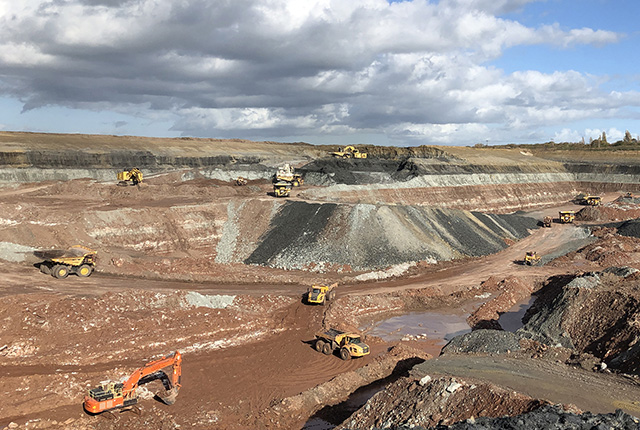
Notes have been assembled to help users understand the digital map data, limitations, uses, content and background information on compilation.
Mineral Reconnaissance Programme (MRP) reports
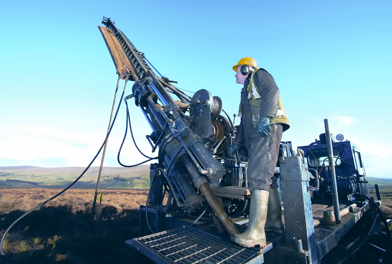
The Mineral Reconnaissance Programme (MRP) provided geological, geochemical, geophysical, mineralogical and metallogenic information on prospective areas in Britain.
Legacy exploration publications
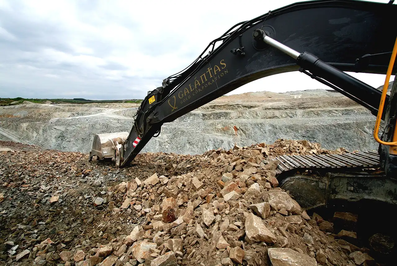
Brochures and guides covering baryte, copper, gemstones, gold, lead and zinc, and nickel and platinum.
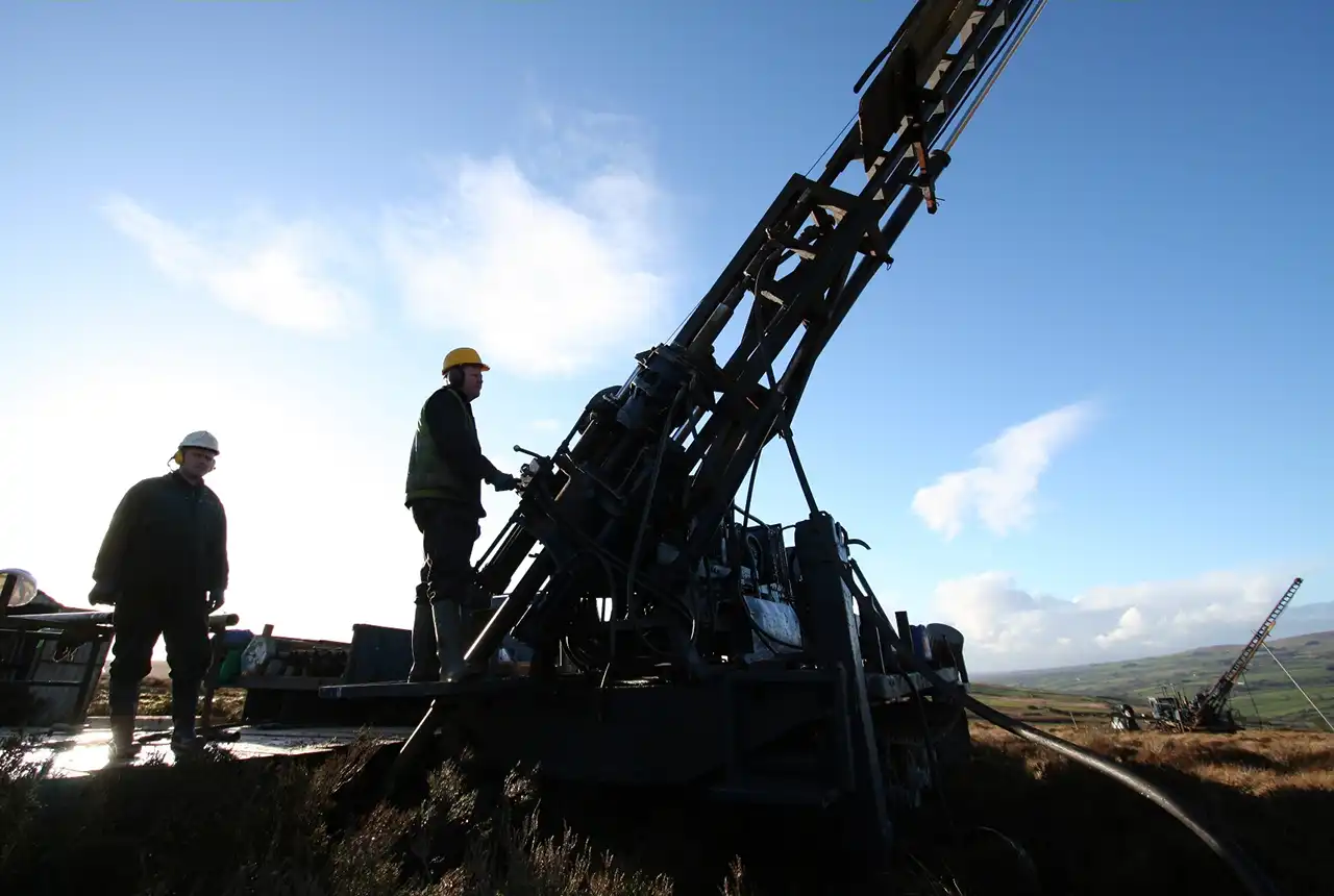
History of exploration in the UK
Exploration for metalliferous minerals in Britain from the 1950s to the late 1990s was undertaken by a wide range of commercial companies and by BGS on behalf of the UK Government.

