Chalk/Bowland Shale Formation and Craven Group separation map

Chalk/Bowland Shale Formation and Craven Group separation map

Area where aquifer and shale/clay are present
  • Yorkshire
  • Lincolnshire
  • Note that, for the purposes of drafting this separation map the maximum depth of the Chalk aquifer is taken to be 400 mbgl based on the recommendations in the UK TAG report. More information about this can be found in the methods section
Thickness of intervening strata
  • About 2000 to 3500 m.
Other major aquifers in the area
  • Central Lincolnshire: Carboniferous limestone (below)
Other shales or clays in the area
  • None
Aquifer map
  • Chalk principal aquifer
Shale/clay map


ch-bcg
Information icon

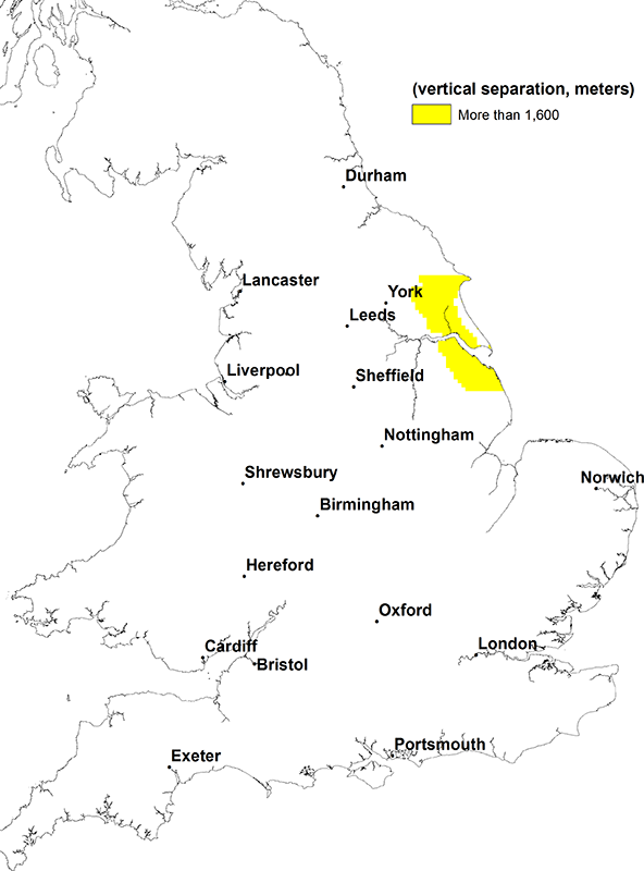
Chalk/Bowland and Craven groups separation map. BGS © UKRI.

Expand icon

Need more information?