
Groundwater resources

BGS measures, monitors and maps groundwater to advance knowledge and enable groundwater to be sustainably developed and managed in the UK and globally.
Half of the world’s population rely on groundwater for drinking and much of international food production is irrigated with groundwater. In the UK, groundwater provides a third of public water supply in the UK, mostly in the south-east of England where rainfall is low and demand is high. Groundwater is increasingly under threat from over-use, climate change and pollution.
BGS acts as the national repository for groundwater data, holding extensive collections of hydrogeological information — including well records, groundwater levels, water quality data, aquifer properties and hydrogeological maps — and uses these data to develop knowledge, tools and models to help develop and manage groundwater.
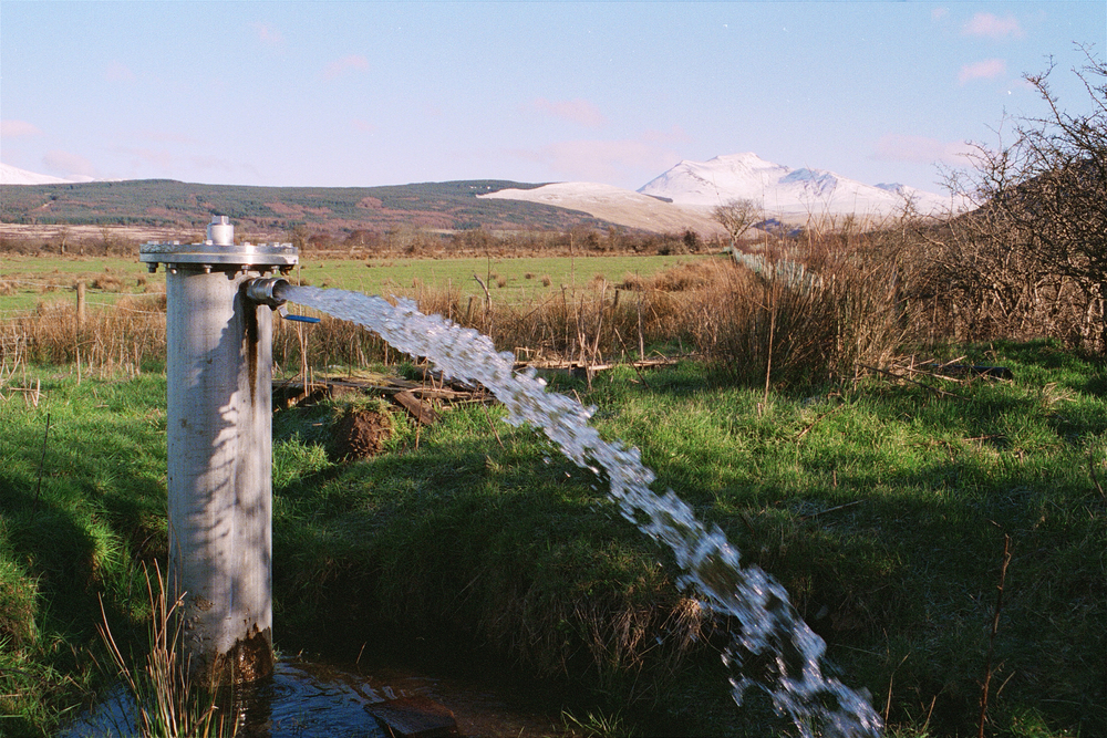

Artesian groundwater well in Arran, Scotland. BGS © UKRI.
Groundwater level forecasting
The BGS produces forecasts of groundwater levels for 48 different locations across the UK’s principal aquifers, the results from which are incorporated in the Hydrological Outlook UK website on a monthly basis. The sites are currently mainly located on the major aquifers of England, with a lower density of sites in Scotland, Wales and Northern Ireland. The models are driven using seasonal weather forecasts produced by the UK Met Office. BGS produce the Hydrological Outlook in partnership with:
- UK Centre for Ecology and Hydrology
- Environment Agency
- UK Met OfficeScottish Environment Protection Agency
- Natural Resources Wales
- Department for Infrastructure, Northern Ireland
Groundwater resources in the UK
Groundwater is a vital resource across the UK, supporting public and private water supply, agriculture, industry and the environment. BGS provides a wide range of groundwater datasets and information products , including the 1:625 000 Hydrogeology Map of the UK. Further information regarding groundwater resources in England and Wales, Scotland and Northern Ireland are available through the following links:
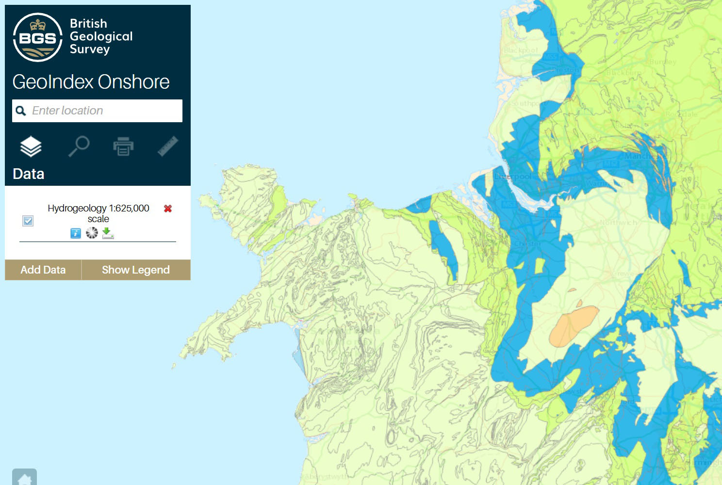
BGS 625K hydrogeology map. BGS © UKRI.
Our research
Groundwater resources in the UK
Exploring the contribution of groundwater to England and Wales’ public water supply.