
The reports provide an overview of the evidence for karst in the Chalk and Jurassic and Permian limestones in different areas of England. Karst data was compiled from:
- BGS databases on karst, springs, and transmissivity
- reports and peer reviewed papers
- geological mapping
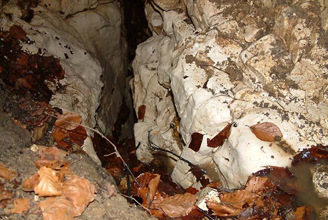
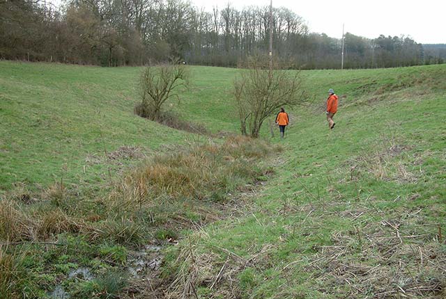
The reports are structured to provide an introduction to the area and geology, evidence of karst geomorphological features in the area (caves, conduits, stream sinks, dolines and springs); evidence of rapid flow from tracer testing, and other hydrogeological evidence of karst. Maps of the area show the distributions of karst features and there is a quick reference bullet-point summary.
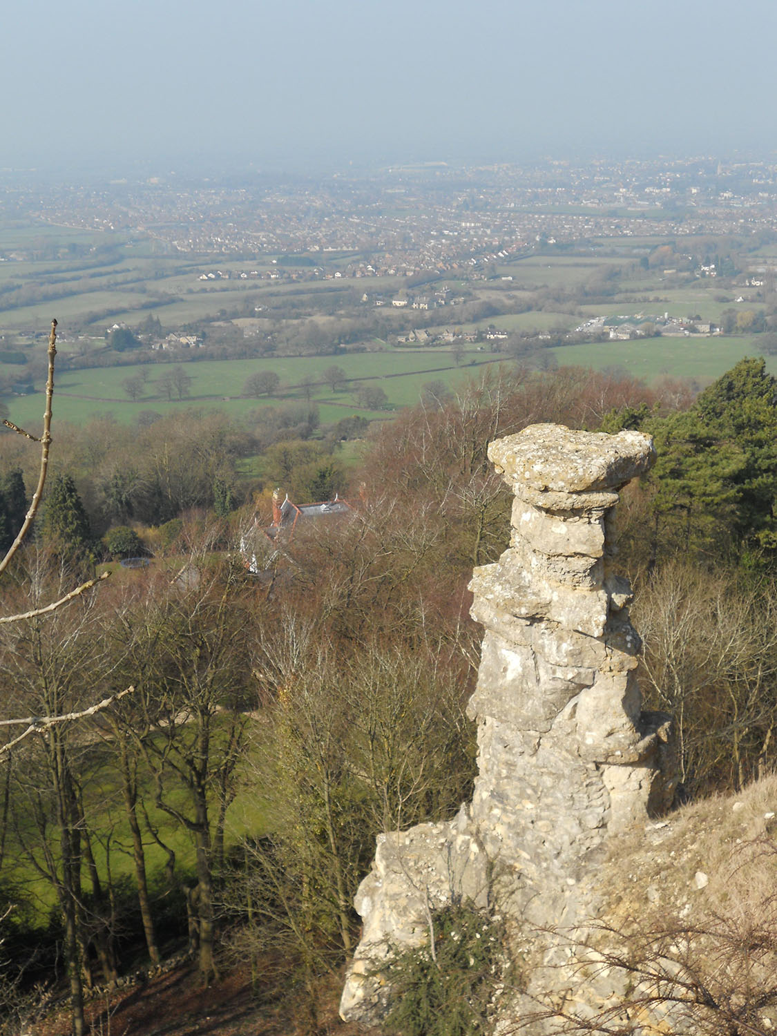

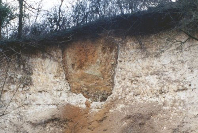
The Devil’s Chimney at Leckhampton Hill, Gloucestershire, is formed from Jurassic-aged limestone (Inferior Oolite Group). BGS © UKRI.
The reports demonstrate that surface karst features are much more widespread in these aquifers than previously thought and that rapid groundwater flow is common. The reports highlight the importance of karst and the need for further consideration of karst in hydrogeological studies and groundwater management and protection in these aquifers. Karst data is not complete and work continues to improve karst datasets further and to investigate the detail of local catchments.
Report areas
The Chalk is divided into nine regions that are primarily based on geomorphology and geography.
The Permian limestones are divided into two areas, comprising a northern and southern outcrop.
The Jurassic limestones have more variable geology and are divided into six areas:
- J1 covers the Corallian Group of northern England
- J2 covers the Lincolnshire Limestone Formation of central England
- J3 covers the Great and Inferior Group oolites of southern England
- J4 covers three small areas of the Portland and Purbeck limestones in southern England
- J5 covers the Corallian Group limestones of southern England
- J6 covers the Blue Lias limestones of south-west England and comprises several small outcrops within a large area
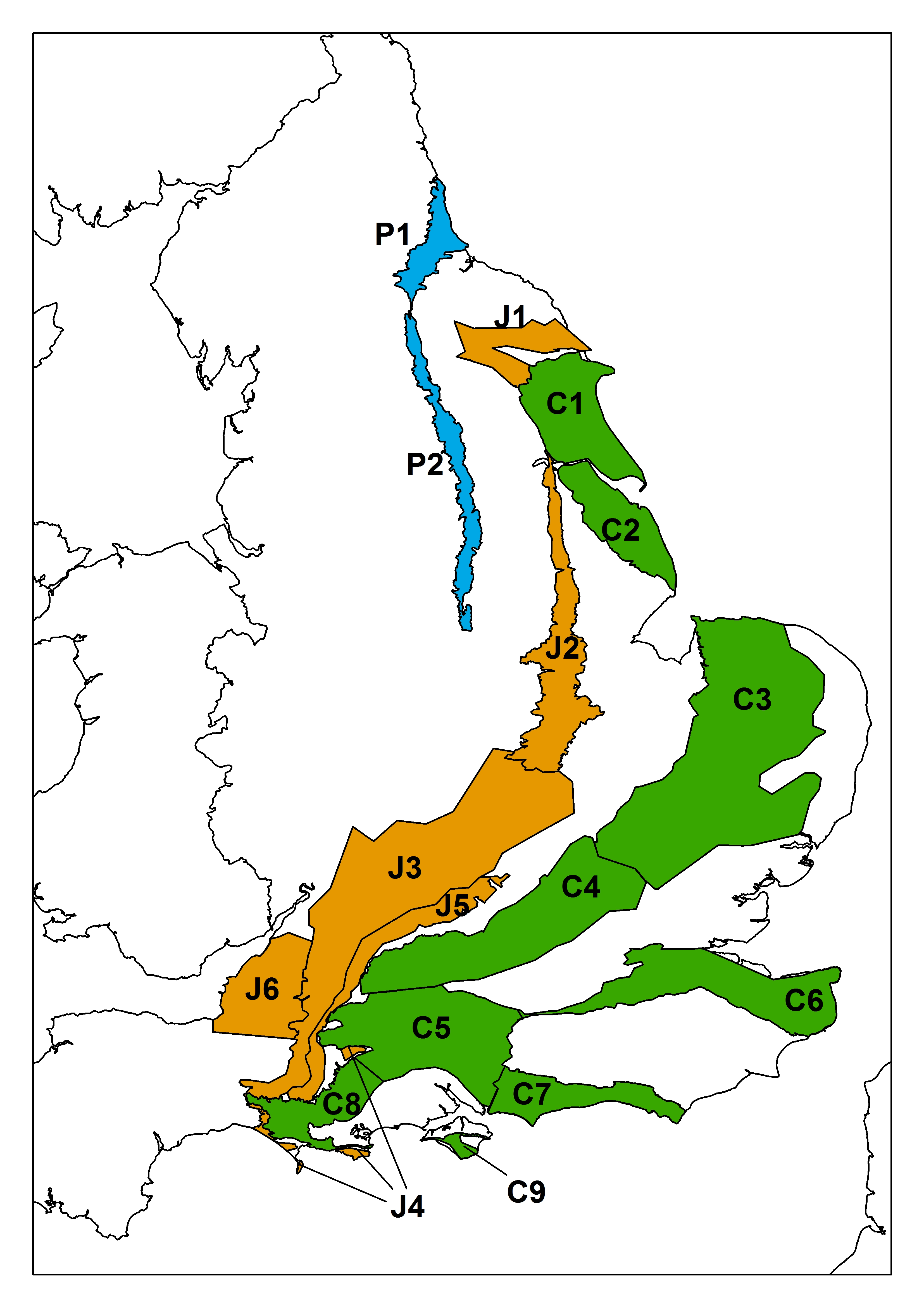
Map overview showing the karst report areas across England. BGS © UKRI.
- C1 Karst in the Chalk of the Yorkshire Wolds
- C2 Karst in the Chalk of Lincolnshire
- C3 Karst in the Chalk of East Anglia
- C4 Karst in the Chalk of the Chilterns and the Berkshire and Marlborough Downs
- C5 Karst in the Chalk of the Wessex basin
- C6 Karst in the Chalk of the North Downs
- C7 Karst in the Chalk of the South Downs
- C8 Karst in the Chalk of Dorset
- C9 Karst in the Chalk of the Isle of Wight
- J1 Karst in the Jurassic Limestone Corallian Group of northern England
- J2 Karst in the Jurassic limestones of Central England
- J3 Karst in the Jurassic Great and Inferior Oolites of Southern England
- J4 Karst in the Jurassic Portland and Purbeck limestones in southern England
- J5 Karst in the Jurassic Corallian Group limestones of southern England
- J6 Karst in the Jurassic Blue Lias limestones of south-west England
- P1 Karst in the northern outcrop of the Permian limestones (South Shields to Scotch Corner)
- P2 Karst in the southern outcrop of the Permian limestones (Scotch Corner to Nottingham)
Need more information?
Find out more about our research
Karst aquifers
Aquifers formed in the Chalk Group and the Jurassic and Permian limestones of England.
Karst features
The distinctive features of karst landscapes.
Karst hydrogeology of the Bedhampton and Havant springs
One of the best examples of Chalk karst springs in the UK.
What causes sinkholes?
Explore the different types of sinkhole encountered in the UK.
Sinkholes research
Our research extends beyond the distribution and processes associated with sinkhole formation to the broader subject of karst.