Data
BGS is the national repository for groundwater data and information for the UK. It also has extensive holdings of international groundwater data and information. We are working to make this data available as far as possible.
BGS Groundwater datasets include:
- Water well records
- Groundwater level data
- Hydrogeological maps
- Publications
- Popular and widely used datasets
We have a long track record in providing UK and international partners — including government departments, industry and academia — with environmental data management and web delivery services.
Hydrogeological enquiries
BGS Enquiries can provide data and information on:
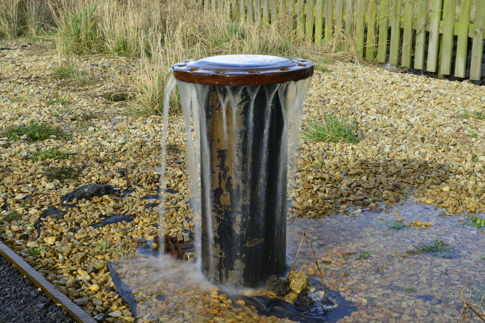
- open- and closed-loop ground-source heat pump systems
- using old wells
- aquifer properties and groundwater level time-series data
- borehole logs
- GeoReports for abstraction and for recharge or soakaways
- groundwater flooding susceptibility reports
- hydrogeological reports
- sustainable drainage systems (SUDS)
Contact
Please contact BGS Enquiries for further information.
Groundwater data and information
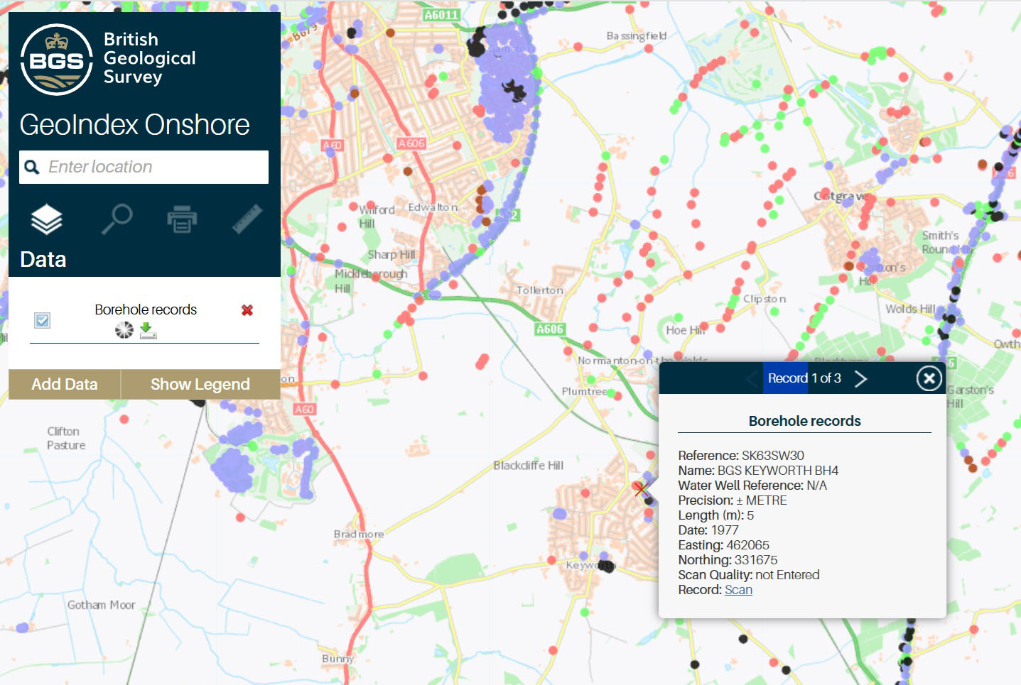
BGS groundwater datasets
Explore our groundwater datasets, from geological indicators of flooding to permeability data.
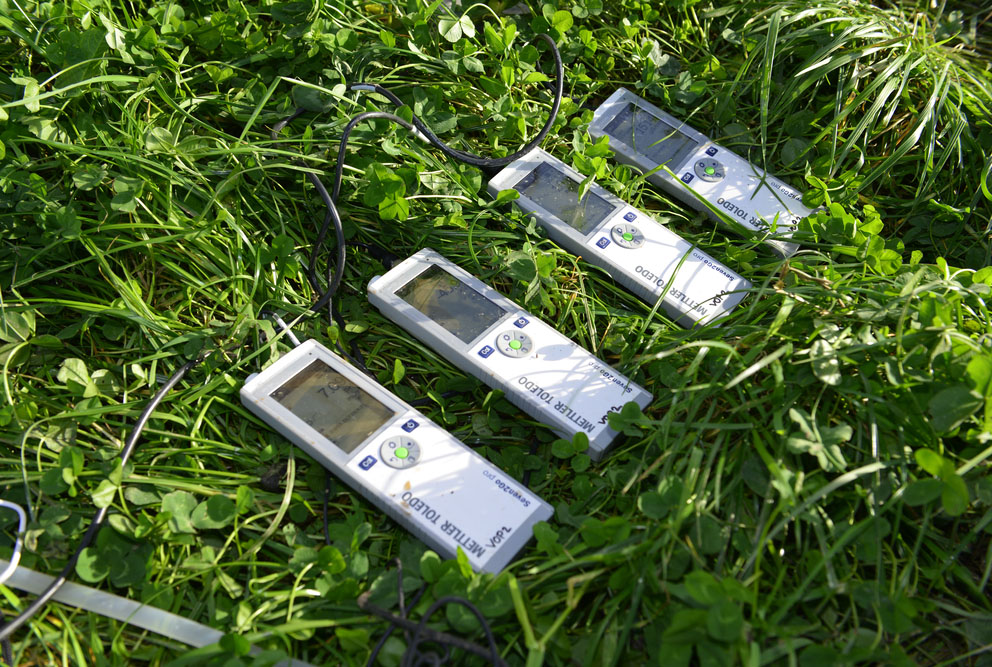
Groundwater level data
BGS collects groundwater level data through many of its research projects and hosts the National Groundwater Level Archive.
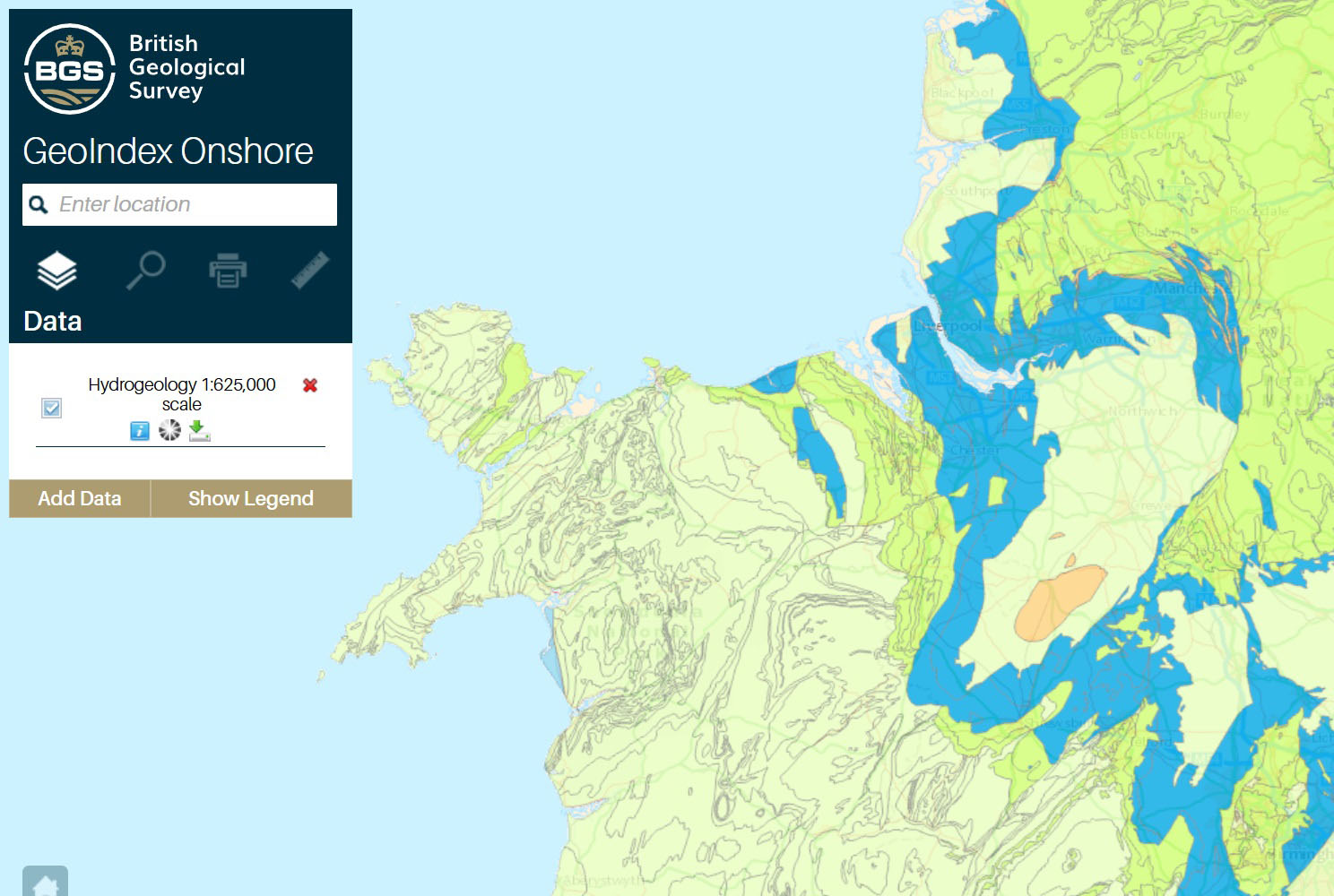
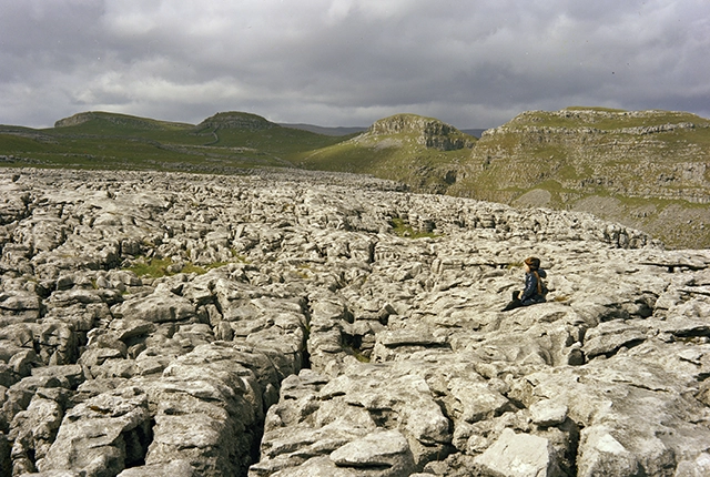
Hydrogeological maps
Bringing together geological and hydrological characteristics of rocks and their usefulness for groundwater supply.

Publications
BGS Groundwater has a range of options for accessing publications.