
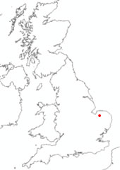
This well is used to monitor water levels in the Chalk Group aquifer to the east of King’s Lynn in Norfolk, eastern England.
BGS Enquiries can help you to access data from the National Groundwater Level Archive (NGLA) for this well.

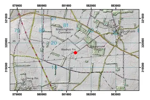
Location of Washpit Farm. BGS © UKRI.
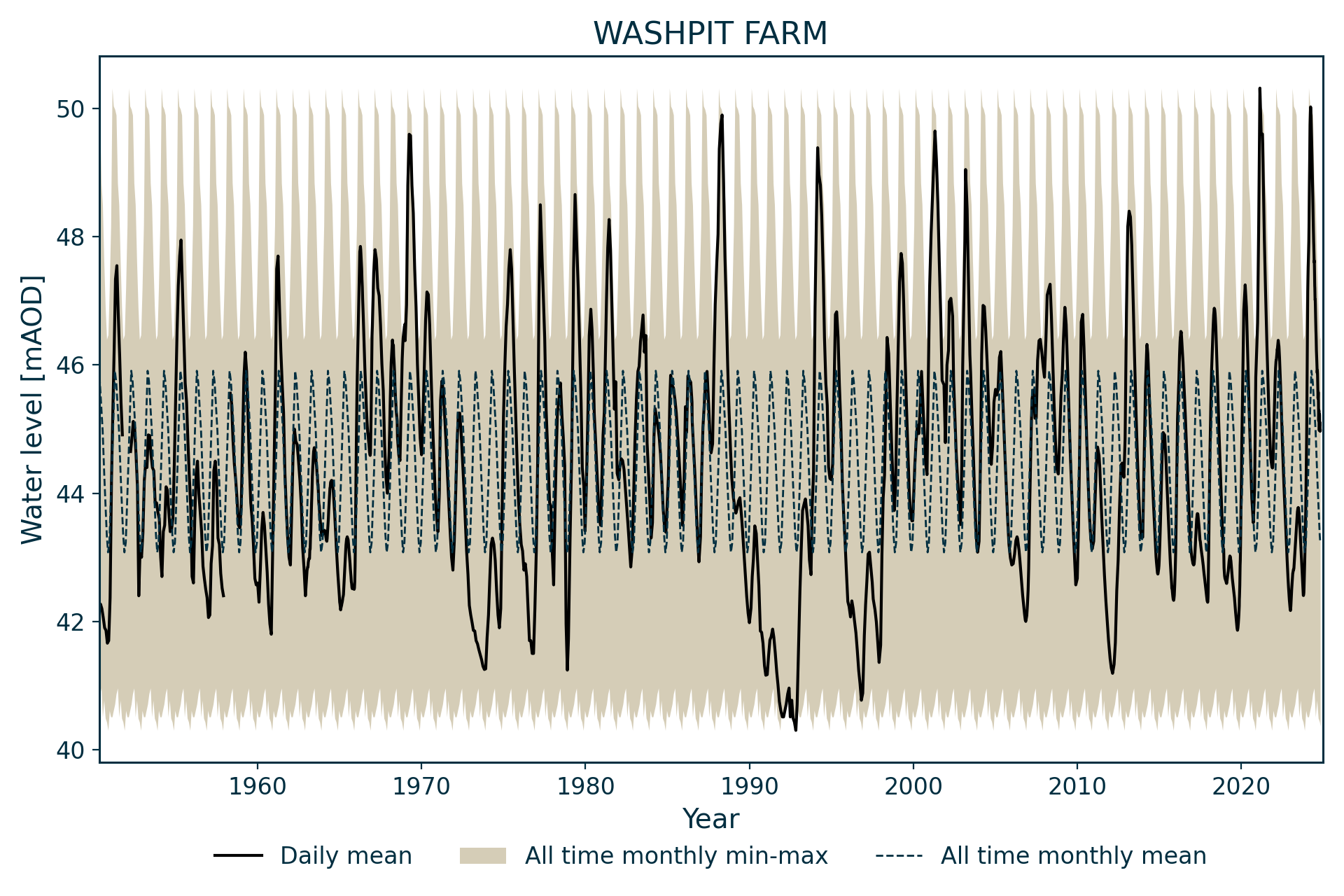
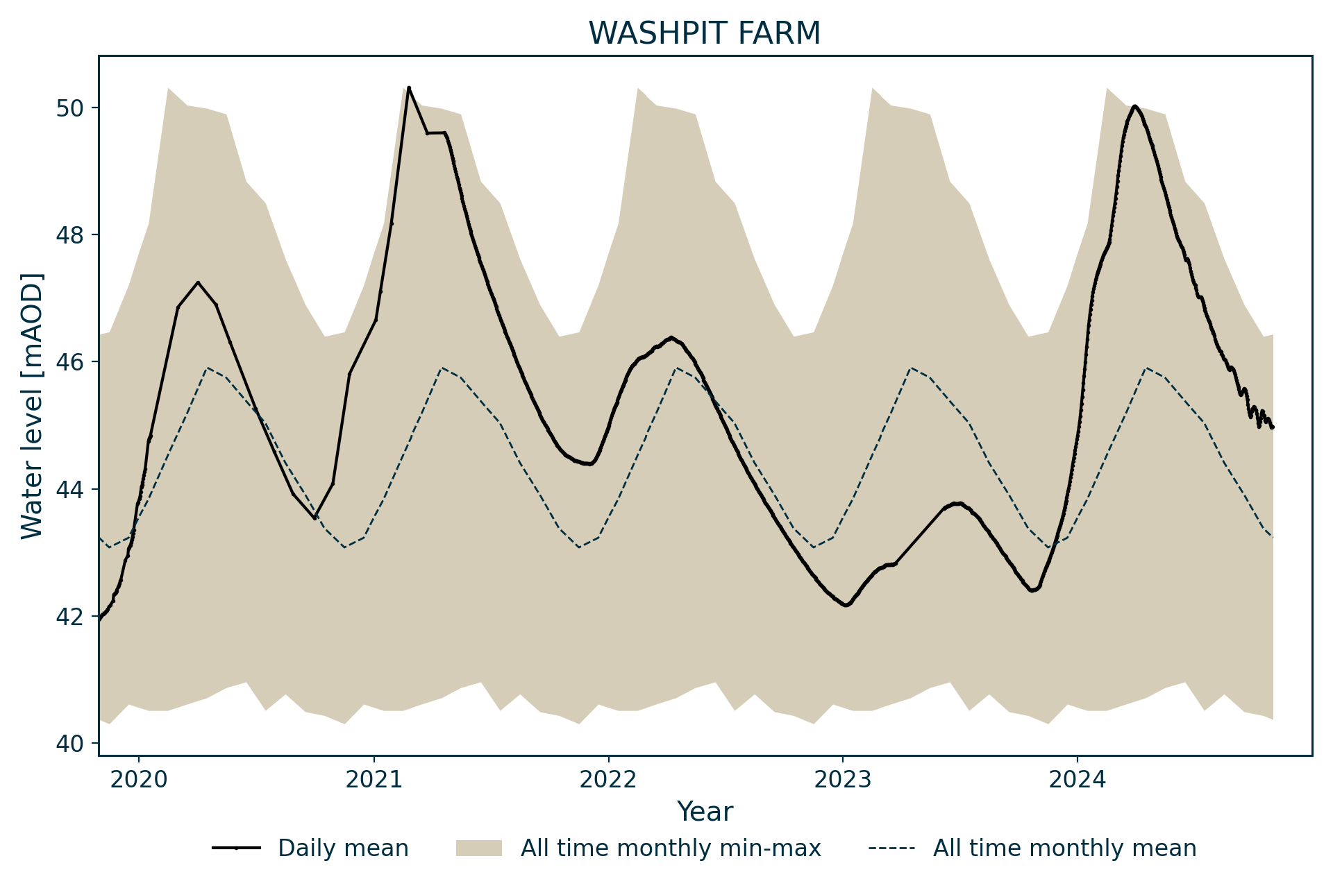
Hydrograph
Information about the well
Hydrogeological setting
| Washpit Farm | |
|---|---|
| Wellmaster ID | TF81/2A |
| NGR | 5813 3196 |
| Datum | 80.2 m AOD |
| Monitoring details | |
| Type | Groundwater level |
| Aquifer | Chalk |
| Confinement | Unconfined |
| Depth | 40.26 m |
| Record | |
| Monitored by | EA Anglian |
| Records commence | 1950 |
| Records end | Active |
A well monitoring levels in the chalk aquifer to the east of King’s Lynn. The Chalk Group is overlain by about 12 m of Lowestoft Formation till (clay with gravel, sometimes with a basal layer of sand and gravel).
The chalk aquifer is unconfined, with the water level always lying well below the anticipated position of the base of the superficial deposits.
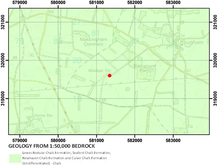
Geological map of the area around Washpit Farm. BGS © UKRI.
Well or borehole construction
The well has a diameter of 1.83 m and was originally constructed for a farm water supply. The shaft was 45.7 m deep when measurements commenced in 1950 and was possibly deepened (by a borehole) in 1938. However, by January 1965, the shaft depth was recorded as only 40.26 mbgl (40.41 m below well top), due to siltation.
A well is marked at this location on the 1906 Ordnance Survey map.
Hydrograph response
The hydrograph has an annual sinusoidal response with a seasonal variation in water level generally of about 2 m. It is thought to represent naturally occurring conditions.
Data issues
The lowest recorded rest water level of 40.3 m AOD is similar to the shaft depth and therefore it is possible that this constrains the minimum rest water level, although it has only been reached on a single occasion (2 November 1992).
Topographical map with hillshade of the area around Washpit Farm. BGS © UKRI.
Acknowledgements
Groundwater level data are provided to the NGLA by the Environment Agency (EA), Natural Resources Wales – Cyfoeth Naturiol Cymru (NRW), the Scottish Environment Protection Agency (SEPA) and, for Northern Ireland, the Department for Infrastructure – Rivers and the Northern Ireland Environment Agency.
Further information about these monitoring networks can be found on these pages:
Contact
Please contact BGS Enquiries for further information.