
This well is used to monitor water levels in the confined, Triassic-aged Sherwood Sandstone Group to the north-east of Penrith, Cumbria, north-west England.
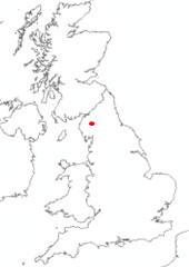

Location of Skirwith. BGS © UKRI.
BGS Enquiries can help you to access data from the National Groundwater Level Archive (NGLA) for this well.
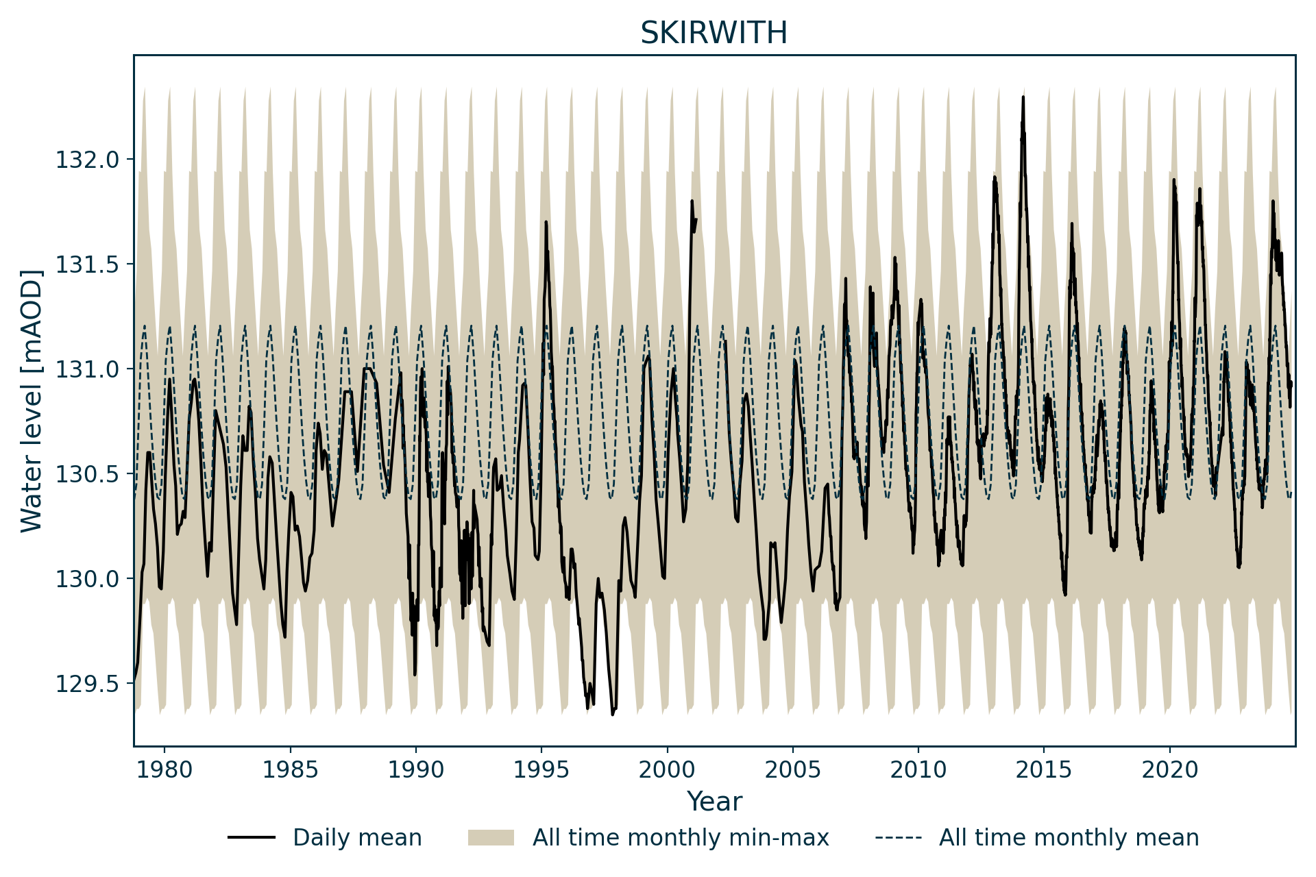
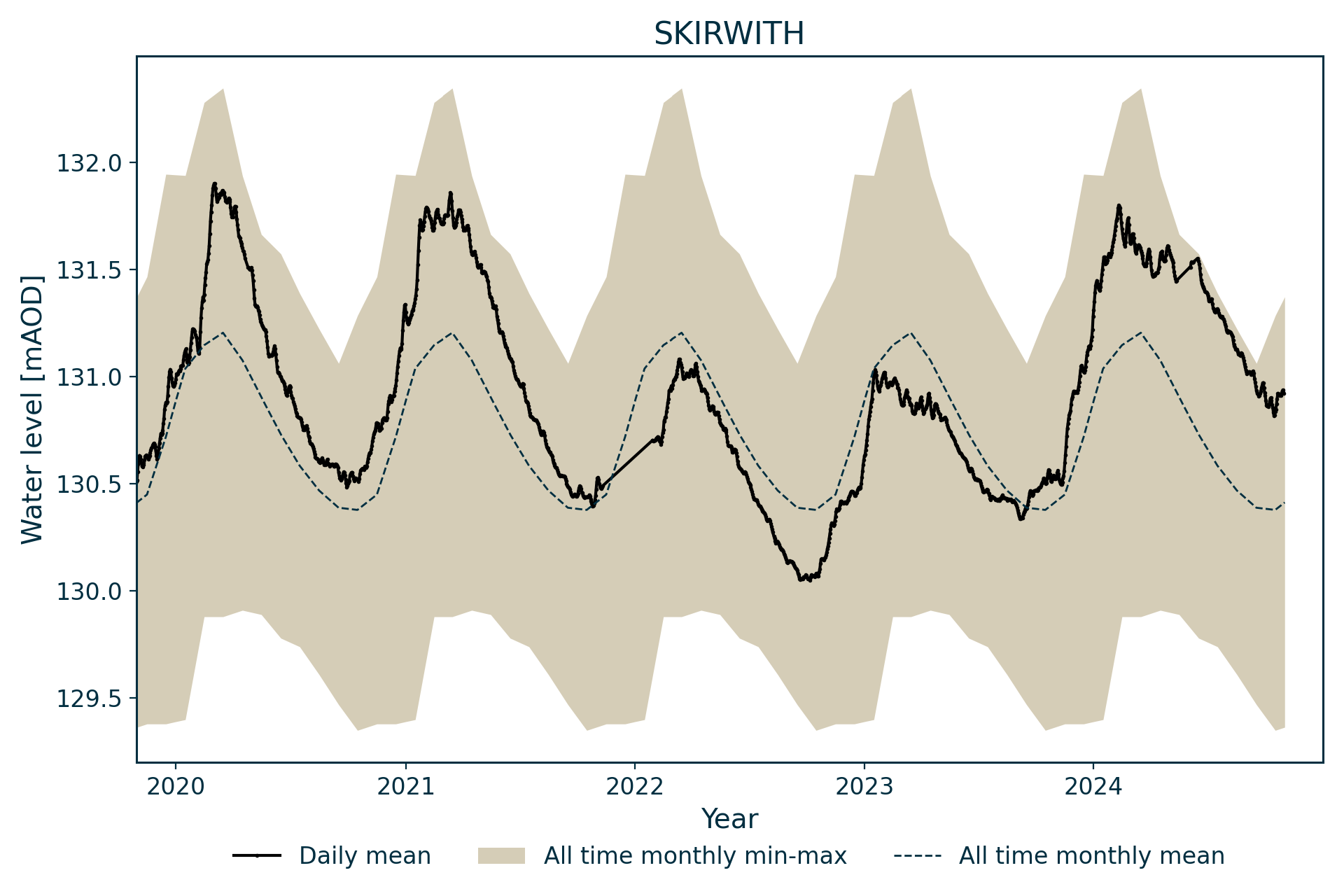
Hydrograph
Information about the well
Hydrogeological setting
| Skirwith | |
|---|---|
| Wellmaster ID | NY63/2 |
| NGR | 3613 5325 |
| Datum | 133.25 m AOD |
| Monitoring details | |
| Type | Groundwater level |
| Aquifer | Permo–Triassic sandstone |
| Confinement | Confined |
| Depth | 89.6 m |
| Record | |
| Monitored by | EA North West |
| Records commence | 1978 |
| Records end | Active |
St Bees Sandstone Member overlain by about 3 m of superficial till deposits. The well lies within a deep basin of Permo-Triassic rocks.
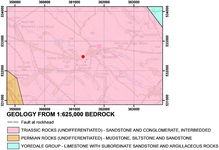
Geological map of the area around Skirwith. BGS © UKRI.
The water level is confined and varies from the maximum level (131.8 m AOD) lying within the superficial deposits to the minimum level (129.35 m AOD) lying in the St Bees Sandstone Formation.
Well or borehole construction
The borehole was 89.62 m deep when drilled in June 1978, but had been backfilled to a depth of 88.57 m by September 1985. It is a 196 mm-diameter borehole lined with 7 m of plain plastic lining from the surface.
Hydrograph response
The hydrograph has an annual sinusoidal pattern. There is a note on the file that barometric pressure effects are observed, which account for abnormal low values.
Data issues
Limited data for 2001 as access was restricted due to the outbreak of foot and mouth disease.
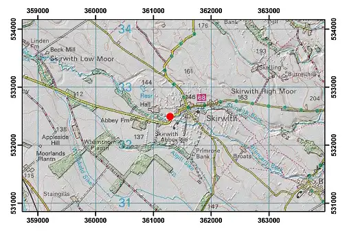
Topographical map with hillshade of the area around Skirwith. BGS © UKRI.
Acknowledgements
Groundwater level data are provided to the NGLA by the Environment Agency (EA), Natural Resources Wales – Cyfoeth Naturiol Cymru (NRW), the Scottish Environment Protection Agency (SEPA) and, for Northern Ireland, the Department for Infrastructure – Rivers and the Northern Ireland Environment Agency.
Further information about these monitoring networks can be found on these pages:
Contact
Please contact BGS Enquiries for further information.