
This well is used to measure the water level in the unconfined Seaford Chalk Formation and the underlying Lewes Nodular Chalk Formation of the Cretaceous-aged Chalk Group aquifer, north-west of Andover in southern England.
BGS Enquiries can help you to access data from the National Groundwater Level Archive (NGLA) for this well.

Location of Clanville Lodge Gate. BGS © UKRI.
Hydrograph
We receive the data for this site on an annual basis, in April.
Information about the well
Hydrogeological setting
| Clanville Lodge Gate | |
|---|---|
| Wellmaster ID | SU34/8D |
| NGR | 4322 1490 |
| Datum | 101.55 m AOD |
| Monitoring details | |
| Type | Groundwater level |
| Aquifer | Chalk |
| Confinement | Unconfined |
| Depth | 45.2 m |
| Record | |
| Monitored by | EA South East |
| Records commence | 1996 |
| Records end | Active |
The borehole penetrates the Seaford Chalk Formation and the underlying Lewes Nodular Chalk Formation.
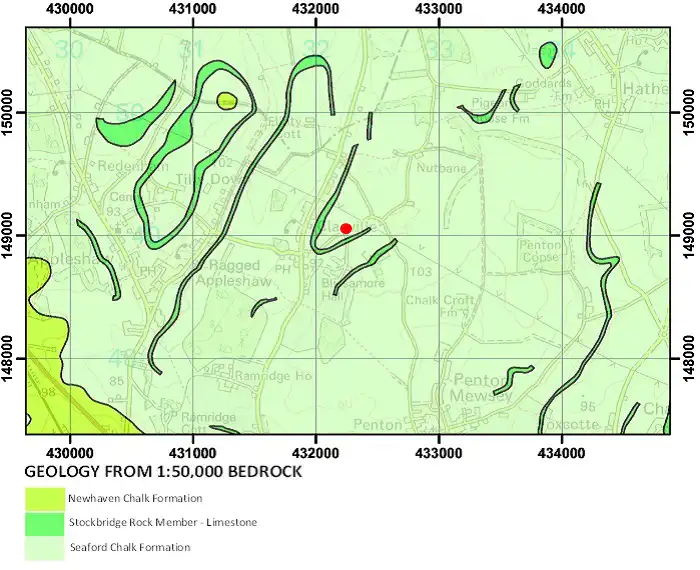
Geological map of the area around Clanville Lodge Gate. BGS © UKRI.
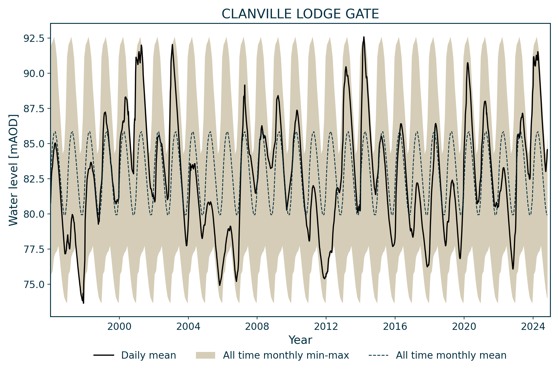
The site is located on the side of a small, east-north-east trending dry valley just above where it joins the main dry valley. The ephemeral head of the River Anton is in Penton Grafton (SU 329 472), 2 km to the south-south-east at an elevation of about 73 m AOD. This is similar to the minimum water level (73.6 m AOD) recorded in the borehole.
Well or borehole construction
The diameter of the borehole is unknown. There is probably some casing in the top of the borehole.
This site replaced a 35 m-deep well and borehole nearby (SU 3215 4875) in 1976. It is located within a dry valley at a 9.62 m lower elevation.
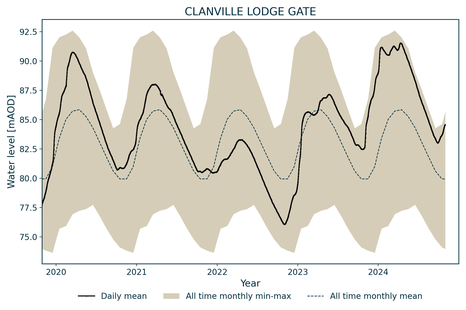
Hydrograph response
The Chalk Group aquifer is unconfined and the hydrograph has an annual sinusoidal appearance with additional peaks in some years.
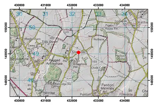
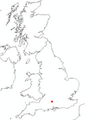
Topographical map with hillshade of the area around Clanville Lodge Gate. BGS © UKRI.
Acknowledgements
Groundwater level data are provided to the NGLA by the Environment Agency (EA), Natural Resources Wales – Cyfoeth Naturiol Cymru (NRW), the Scottish Environment Protection Agency (SEPA) and, for Northern Ireland, the Department for Infrastructure – Rivers and the Northern Ireland Environment Agency.
Further information about these monitoring networks can be found on these pages:
Contact
Please contact BGS Enquiries for further information.