
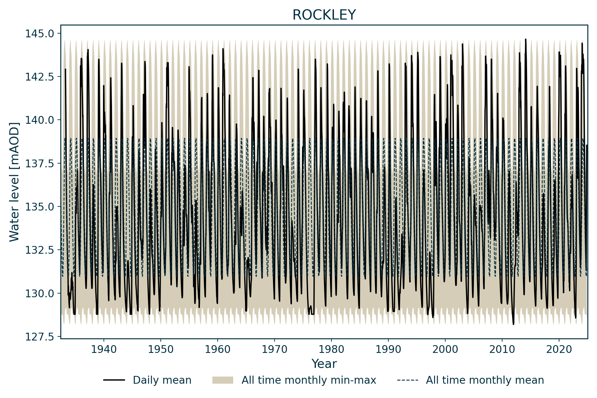
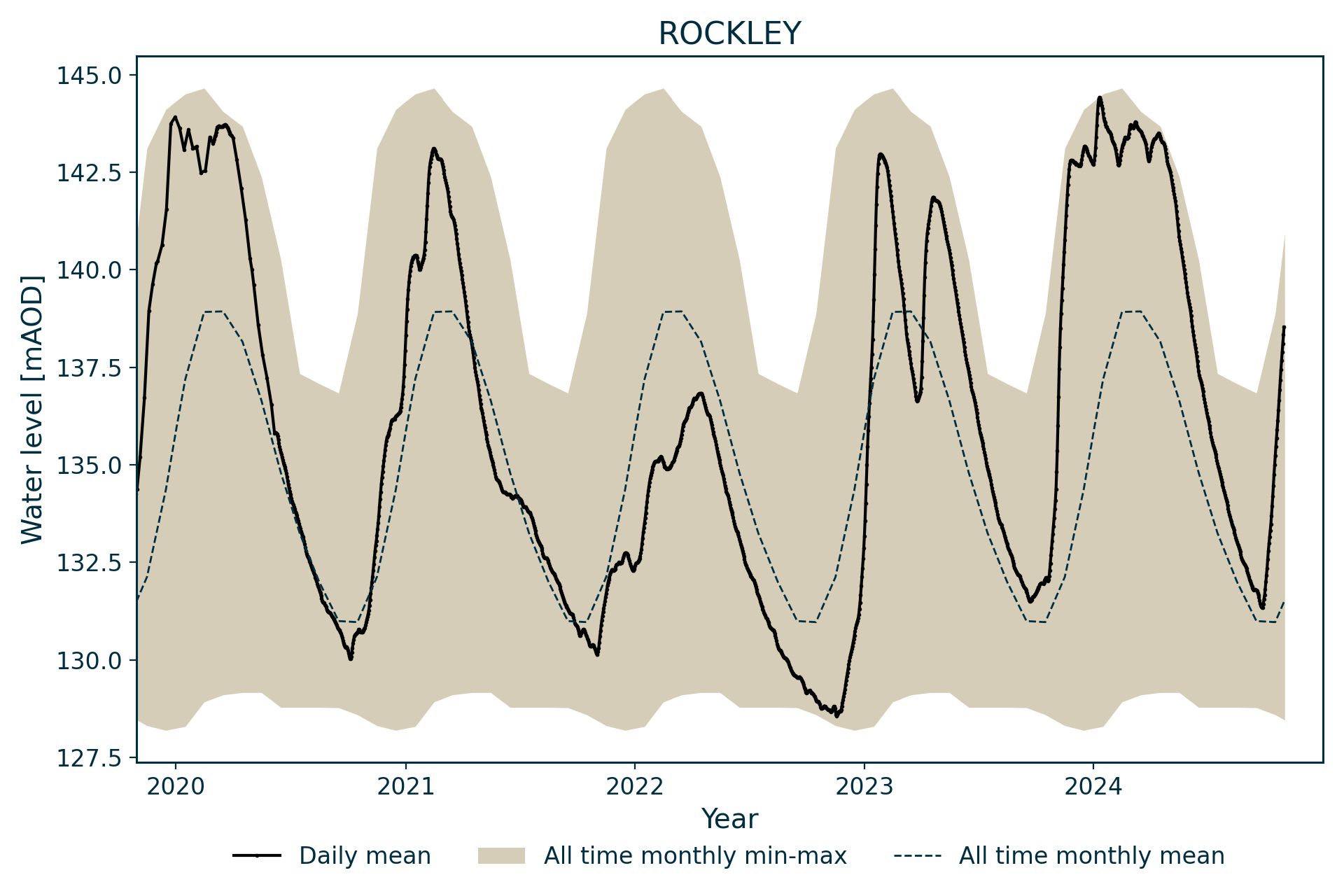
Measuring water levels in a chalk valley south of Swindon in England, the Rockley site is considered a characteristic site for observing groundwater/surface water interaction.
BGS Enquiries can help you to access data from the National Groundwater Level Archive (NGLA) for this well.
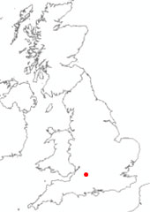

Location of Rockley. BGS © UKRI.
Hydrograph
Information about the well
Hydrogeological setting
| Rockley | |
|---|---|
| Wellmaster ID | SU17/57 |
| NGR | 4165 1717 |
| Datum | 146.57 m AOD |
| Monitoring details | |
| Type | Groundwater level |
| Aquifer | Chalk |
| Confinement | Unconfined |
| Depth | 17.6 m |
| Record | |
| Monitored by | EA Thames |
| Records commence | 1932 |
| Records end | Active |
Rockley measures the water level in the Cretaceous-aged Holywell Nodular Chalk Formation and New Pit Chalk Formation (undifferentiated) of the Chalk Group. The well is located in a dry chalk valley not far from the River Kennet and there is significant evidence of surface water/groundwater interaction.
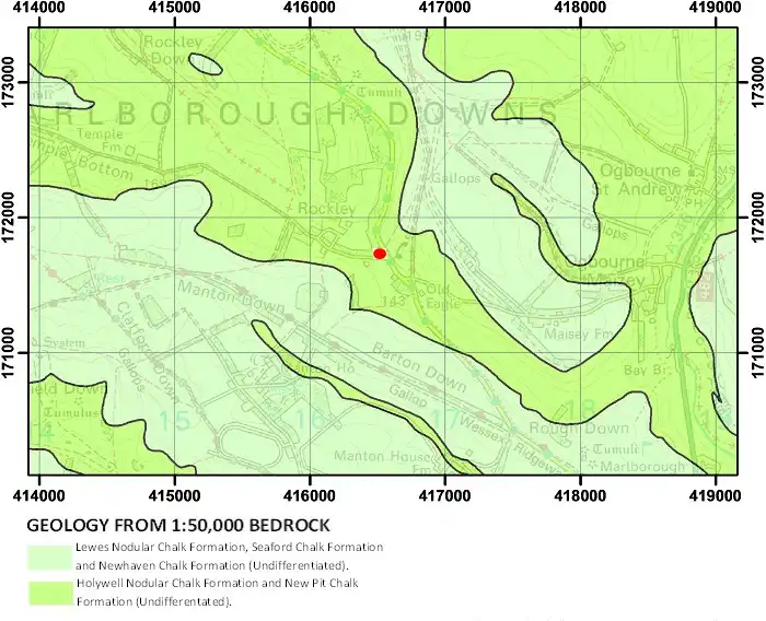
Geological map of the area around Rockley. BGS © UKRI.
Well or borehole construction
An original well, 17.6 m deep, brick lined with a diameter of 1.52 m, was replaced in 1993 by a purpose-drilled, 60 m-deep observation borehole.
Hydrograph response
The chalk aquifer is unconfined and the hydrograph has an annual sinusoidal response with a seasonal variation generally of about 12 m. At high water levels, flow has been recorded in the dry valley. Low levels are thought to be controlled by a marl band within the chalk.
Data issues
Mainly uninterupted weekly data since 1933. The drilling of the observation borehole in 1993 meant that it was possible to measure levels during drought that were previously not observable, as they were below the base of the well.
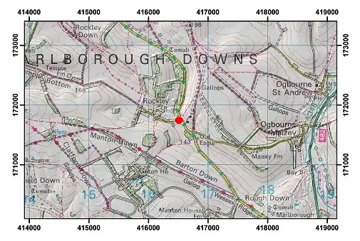
Topographical map with hillshade of the area around Rockley. BGS © UKRI.
Acknowledgements
Groundwater level data are provided to the NGLA by the Environment Agency (EA), Natural Resources Wales – Cyfoeth Naturiol Cymru (NRW), the Scottish Environment Protection Agency (SEPA) and, for Northern Ireland, the Department for Infrastructure – Rivers and the Northern Ireland Environment Agency.
Further information about these monitoring networks can be found on these pages:
Contact
Please contact BGS Enquiries for further information.