
The Stonor Park well, measuring levels in the Chalk Group aquifer near Henley-on-Thames in south-east England. Its hydrogeological setting and the absence of major abstractions in its vicinity mean it is often cited as a ‘typical’ chalk observation well.
BGS Enquiries can help you to access data from the National Groundwater Level Archive (NGLA) for this well.
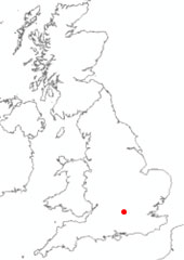

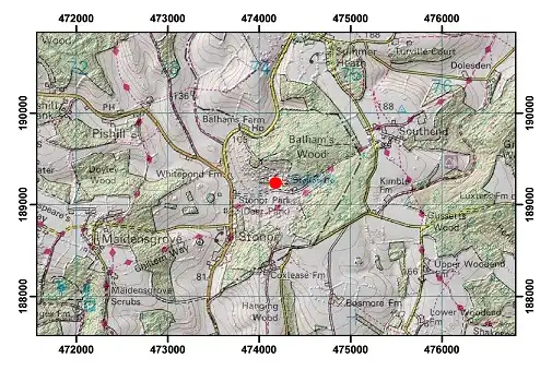
Location of Stonor Park. BGS © UKRI.
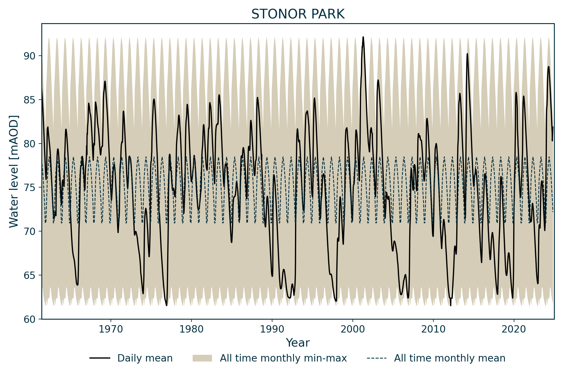
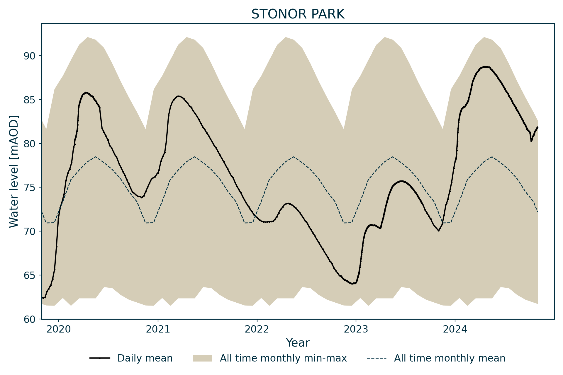
Hydrograph
Information about the well
Hydrogeological setting
| Stonor Park | |
|---|---|
| Wellmaster ID | SU78/45A |
| NGR | 4741 1892 |
| Datum | 121.29 m AOD |
| Monitoring details | |
| Type | Groundwater level |
| Aquifer | Chalk |
| Confinement | Unconfined |
| Depth | 87.5 m |
| Record | |
| Monitored by | EA Thames |
| Records commence | 1961 |
| Records end | Active |
The borehole monitors water level in the Chalk Group in the Berkshire Downs above Henley-on-Thames. It is drilled into the Lewes Nodular Chalk Formation. The aquifer is unconfined.
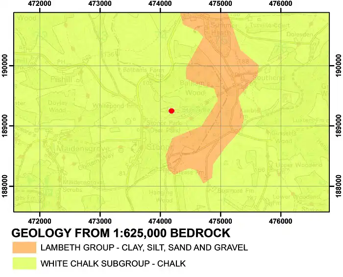
Geological map of the area around Stonor Park. BGS © UKRI.
Well or borehole construction
The well consists of a 2.2 m-diameter shaft to 60 m and a 152 mm-diameter borehole to 87.5 m.
Hydrograph response
This hydrograph has a very regular annual sinusoidal pattern, capturing the aquifer’s full range of fluctuation, although analysis suggests that there may be a constraint on low levels. As levels don’t reach the bottom of the well, the constraint may be hydrogeological.
Topographical map with hillshade of the area around Stonor Park. BGS © UKRI.
The relative simplicity of the borehole’s response to recharge has meant that it is frequently cited as a typical chalk well and used in modelling exercises to link precipitation, recharge and water level. The chalk block monitored by Stonor is, in fact, slightly atypical in that it is one of the larger blocks without surface drainage and responses to individual recharge events are dampened.
Flow in the Assendon spring is initiated when water levels reach 85.5 m AOD, which tends to occur around once per decade.
Data issues
Uninterrupted weekly data from 1963.
References
Finch, J, Marsh, T, and McKenzie, A A. 2007. A preliminary risk assessment of the potential for groundwater flooding during the winter of 2007/8 — an update. (Wallingford, UK: NERC/Centre for Ecology and Hydrology-British Geological Survey.)
Acknowledgements
Groundwater level data are provided to the NGLA by the Environment Agency (EA), Natural Resources Wales – Cyfoeth Naturiol Cymru (NRW), the Scottish Environment Protection Agency (SEPA) and, for Northern Ireland, the Department for Infrastructure – Rivers and the Northern Ireland Environment Agency.
Further information about these monitoring networks can be found on these pages:
Contact
Please contact BGS Enquiries for further information.