Volcanology
BGS Research
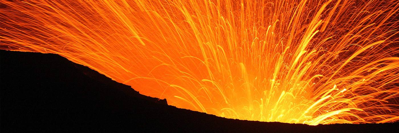
Our scientists draw on a broad range of expertise across the BGS and from collaborative research worldwide to improve understanding of volcanic processes, hazards and risks.
By nature, volcanic research is multidisciplinary, covering a broad area of physical sciences including atmospheric, earth and marine sciences; remote sensing; numerical and experimental modelling, and data science. We embrace interdisciplinary research and routinely use social science methods in our research. Our scientists lead research projects and work in partnerships both in the UK and internationally.
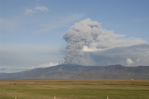

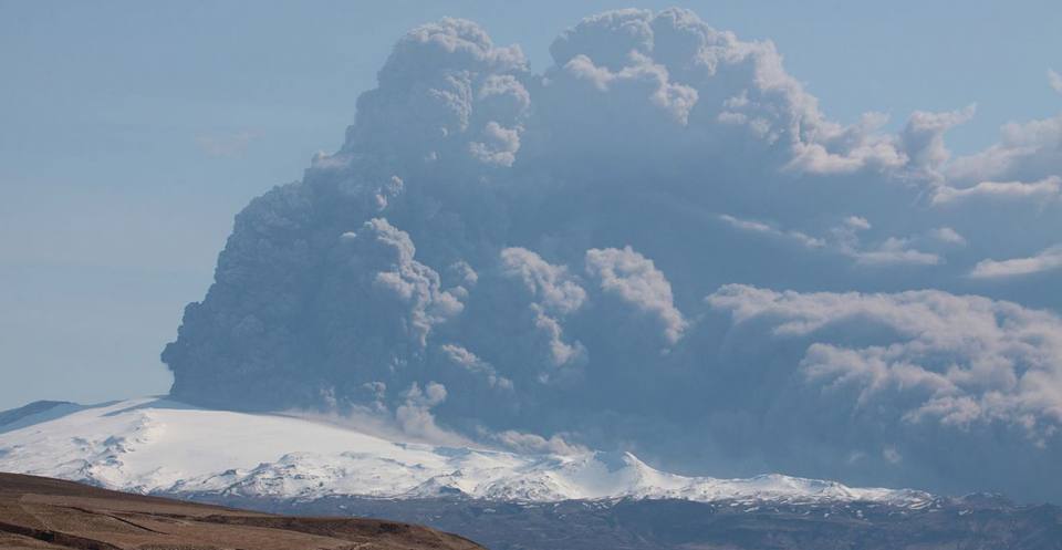
Eyjafjallajökull volcanic eruption, Iceland, May 2010. BGS © UKRI.
Our research relies on our strong in-country partnerships. Through engagement with national to local civil protection agencies, government departments, research institutions, civil society groups, non-governmental organisations (NGOs), the private sector and communities both in the UK and overseas, we are contributing to strategies for disaster risk reduction. We work with national and international government agencies on innovative research and to provide support and scientific advice not only during volcanic unrest, but also in preparation for potential future unrest and eruptions.
BGS Volcanology researchers are improving knowledge and understanding of eruption processes through research and the development of novel computational tools. Our research involves:
- field mapping and deposit-characteristic analysis
- geochronological, petrological and geochemical analyses
- laboratory- to large-scale experiments
- numerical and experimental modelling
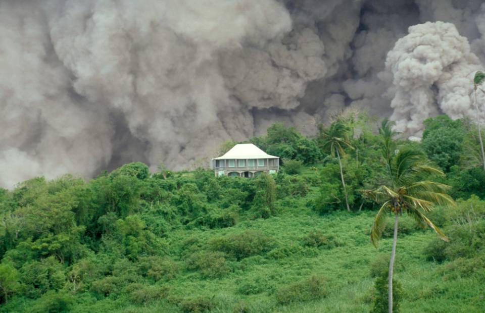
Volcanoes are multi-hazard environments with eruptions rarely resulting in just a single hazard. Hazards can occur simultaneously or can be cascading. Our research on volcanic hazard analysis and assessment involves both quantitative and qualitative approaches:
- deterministic and probabilistic numerical modelling of volcanic ash fall and dispersal; gas dispersal; pyroclastic density currents; lahars, and vent opening
- probabilistic event trees and statistical emulators
- development of eruption scenarios, expert elicitation and use of global databases
- understanding of uncertainties and their implications
Our research aims to provide evidence to support both disaster risk reduction and development, so communities worldwide can live with and benefit from volcanoes.
We work collaboratively across the BGS and with international partners on a range of projects, including:
- exposure, vulnerability and impact analyses for a range of volcanic hazards
- effective risk communication through story telling and collaborative film making
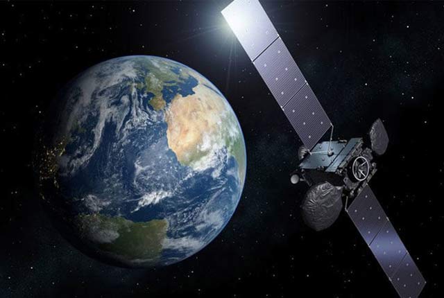
- global reporting of volcanic activity, including providing scientific advice to the UK government and the European Union Civil Protection Mechanism (specifically the Emergency Response Coordination Centre) on volcanic eruptions and their impacts
- citizen science and its contribution to disaster risk reduction, both in the UK and overseas
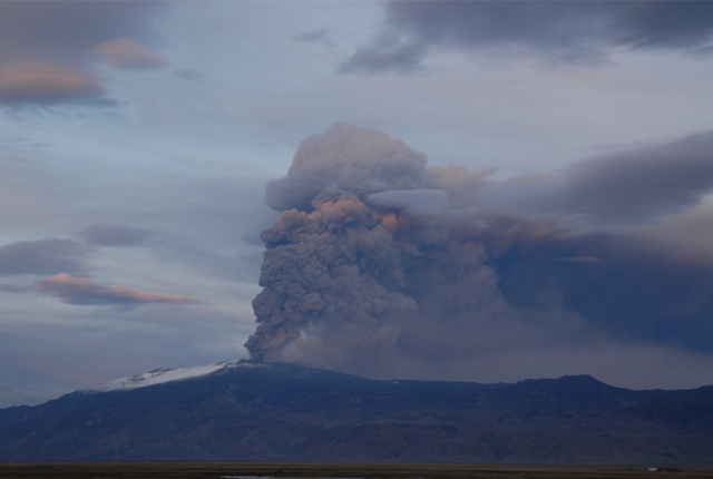
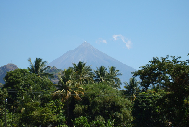
In the past, the UK has been affected by volcanic eruptions in Iceland, the most notable being the 2010 Eyjafjallajökull and 2011 Grímsvötn eruptions, which resulted in disruption of air traffic in the North Atlantic and Europe.
BGS scientists respond to volcanic eruptions and contribute to the Scientific Advisory Group in Emergencies (SAGE). We are part of a Memorandum of Understanding with the Icelandic Meteorological Office, the UK Met Office and the National Centre for Atmospheric Science in order to enhance scientific collaboration before during and after eruptions.
Our scientists also respond to eruptions worldwide as appropriate, providing advice or a collaborative scientific response.
Our research
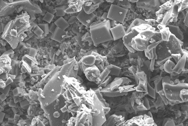
Ash collection
In the event of an eruption in Iceland volcanic emissions may affect the UK. If they do, we need you to collect observations and samples to help us learn about the nature of the eruption.
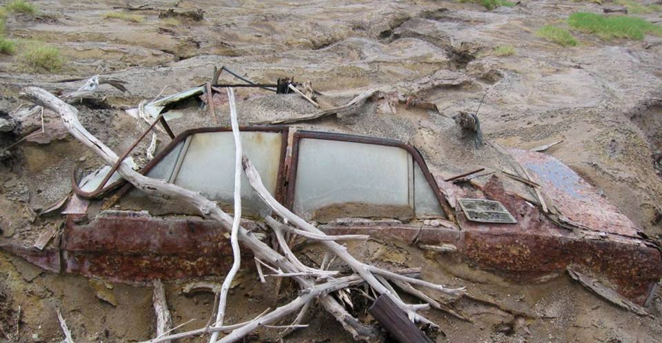
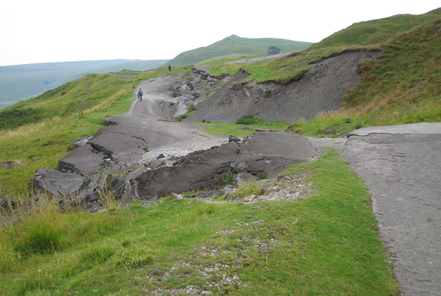
Volcanic debris flows
Debris flows, also known as lahars when they involve volcanic material, are mixtures of sediments and water that flow down the slopes in response to gravity.
Eruption source parameters
Eruption source parameters (ESPs) are those parameters that describe the initiation condition for numerical models. Different models require different input parameters; the quality of model outputs is dependent on the quality of model inputs.
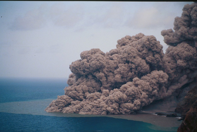
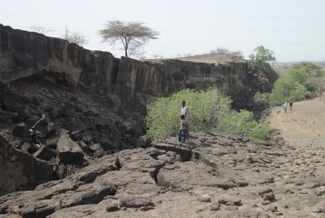
Pyroclastic density currents
Pyroclastic density currents (PDCs) are perhaps the most hazardous events to local areas during explosive volcanic eruptions.
Modelling of volcanic ash
Volcanic ash in the atmosphere is a hazard particularly for civil aviation. Atmospheric dispersion models are used to predict volcanic ash transport.
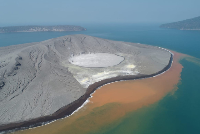
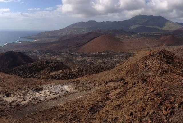
Understanding eruptive activity and related hazards at Krakatau volcano
The BGS is involved in research to understand eruptive processes and implications for tsunami initiation at Krakatau.
ARISTOTLE-ENHSP
The ARISTOTLE-ENHSP project delivers multi-hazard advice capability to the Emergency Response Coordination Centre (ERCC).
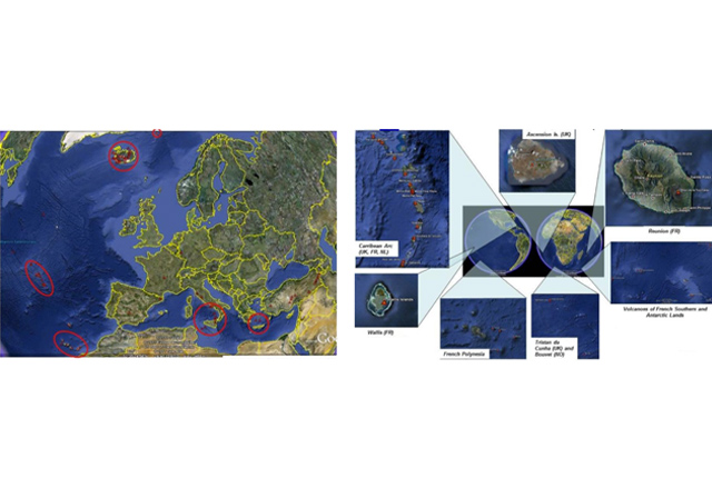
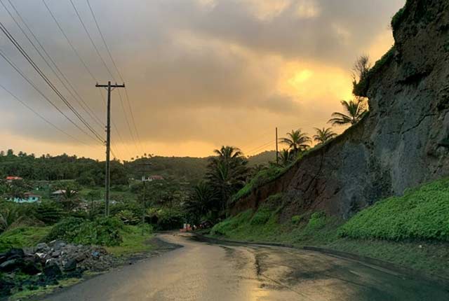
Geoscience in the Overseas Territories
The UK’s 14 Overseas Territories (UKOTs) are highly diverse islands, geographically dispersed around the world in different climate zones. Most are small islands that are particularly vulnerable to natural hazards and climate change.
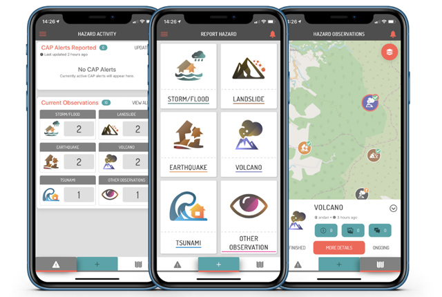
Citizen science for multi-hazards and disaster risk reduction
We are using citizen science for people to develop a shared understanding of hazardous phenomena and for communities to contribute to hazard forecasting and early warning.
Landscapes of the mind
‘Landscapes of the Mind’ is a network of people with a common interest in landscapes, particularly those in Scotland! Our network aims to contribute to an evidence base to support decision making about landscape, as well as open up dialogue about the contribution and importance of the arts in environmental research.
You may also be interested in
International geoscience
The BGS is active across the globe delivering institutional strengthening programmes and applied research projects across a wide variety of sectors.
Global geological risk
Our research focuses on characterising complex, multi-hazard processes with the aim of improving resilience of communities to hazards.
Geodesy and Earth Observation
We develop and use innovative Earth observation (EO) techniques to characterise and monitor Earth processes that impact lives and livelihoods.
Shallow geohazards
Measuring, recording and analysing near-surface geological hazards including landslides, sinkholes and discontinuities.
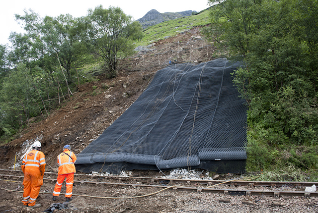
Landslides
The BGS landslides team is involved in many aspects of landslide research, with the primary objective of building resilience both in the UK and internationally.
Pathways to Action
The ‘Pathways to Action’ project aims to characterise flows of communication within and between communities to help reduce multi-hazard risk.
Related news
UK legacy geothermal catalogue released in digital format for the first time
18/04/2024
BGS has released the first digital version of the UK legacy geothermal catalogue of subsurface temperature measurements, rock thermal conductivity measurements and heat flow calculations.
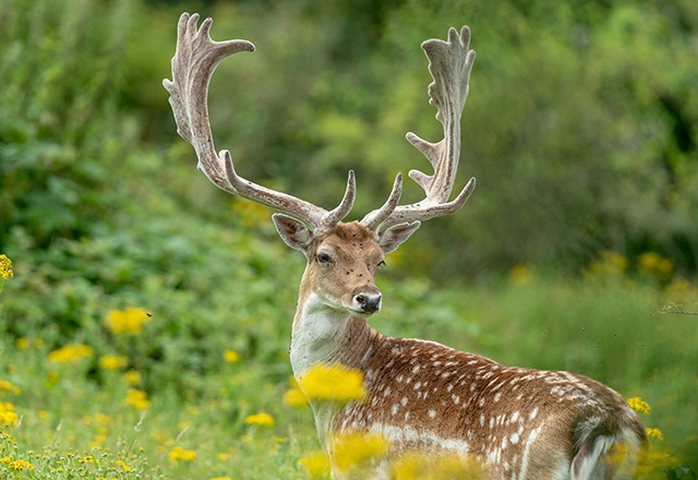
New research supports conservation of fallow deer across Europe
16/04/2024
New research has combined zooarchaeology and ancient and modern biomolecular datasets to reveal new understandings into the history and projections of fallow deer.
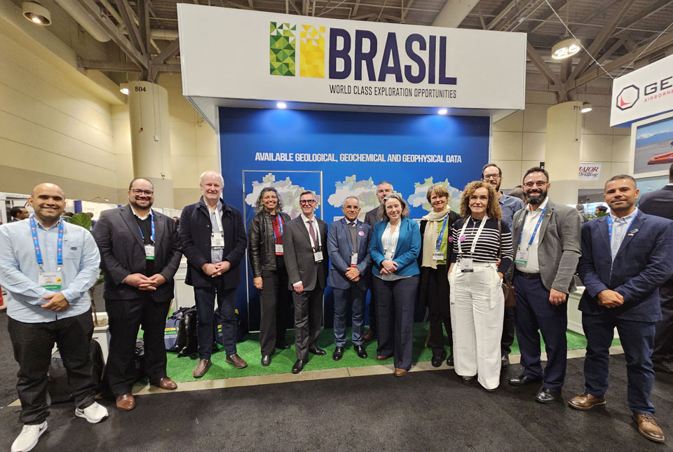
BGS signs memorandum of understanding with Serviço Geológico do Brasil
10/04/2024
The partnership will advance the two organisations’ shared interests in mineral research and geoscience to help benefit society.
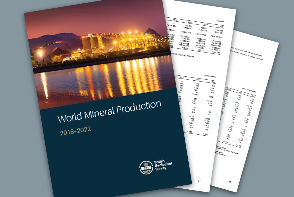
World Mineral Production 2018 to 2022 is now available
09/04/2024
The latest edition of World Mineral Production has been released.
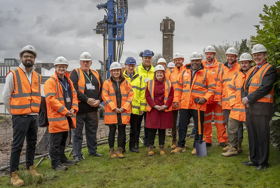
New underground observatory open for research
09/04/2024
Construction has been completed on the Cheshire Observatory and the facility is now open for research activities.
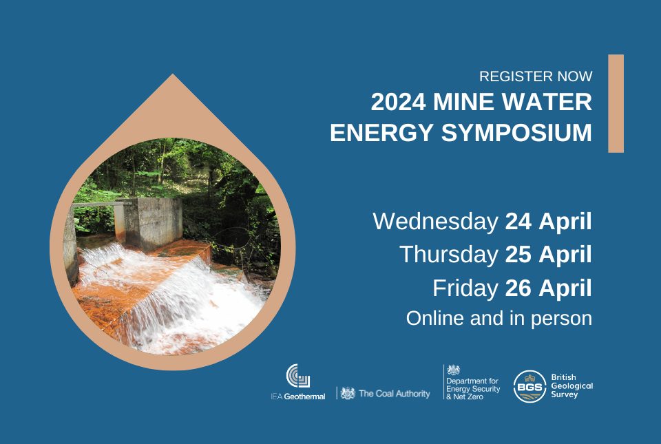
2024 Mine Water Energy Symposium
Event from 24/04/2024 to 26/04/2024
Now in its fourth year, the 2024 Mine Water Energy Symposium will be held in person for the first time in April 2024, with online streaming functionality.
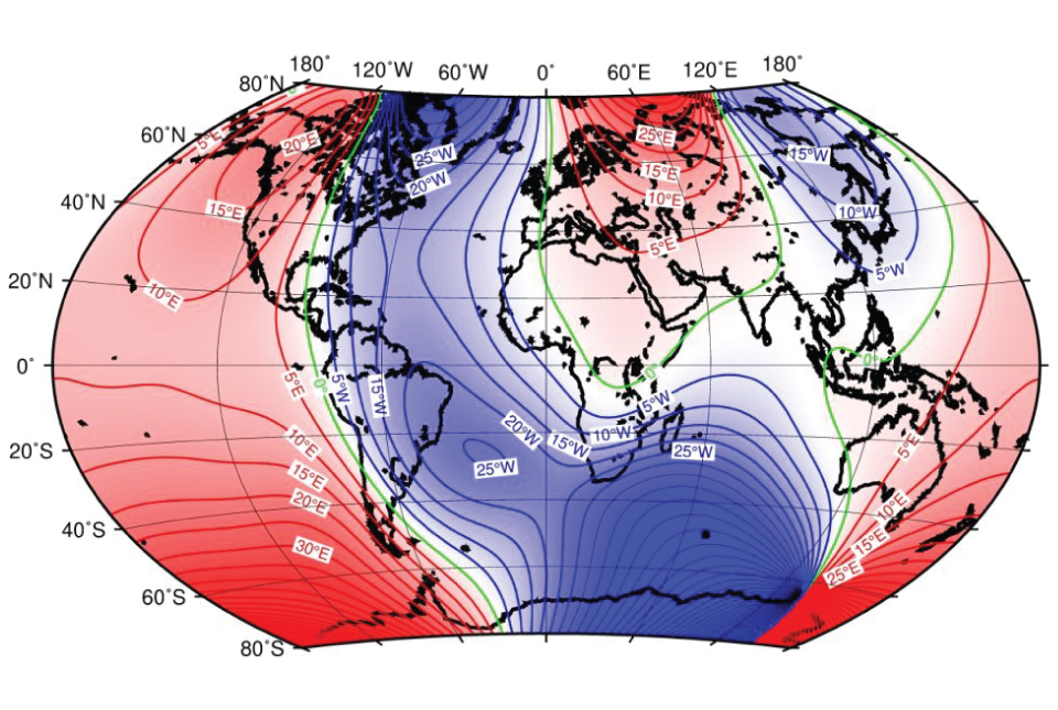
BGS leads update to maps of the Earth’s magnetic field
04/04/2024
The International Geomagnetic Reference Field, used for navigation on mobile phones and in space, is updated every five years.
UK bidding to host the International Geological Congress 2028
18/03/2024
BGS has partnered with the Geological Society of London and the Scottish Geology Trust to develop a bid to host the 38th International Geological Congress in Glasgow in 2028.
BGS to lead a new research project on microplastic occurrence in springs
06/03/2024
BGS has been awarded a two-year research project to undertake the first assessment of microplastic occurrence in springs in the UK.
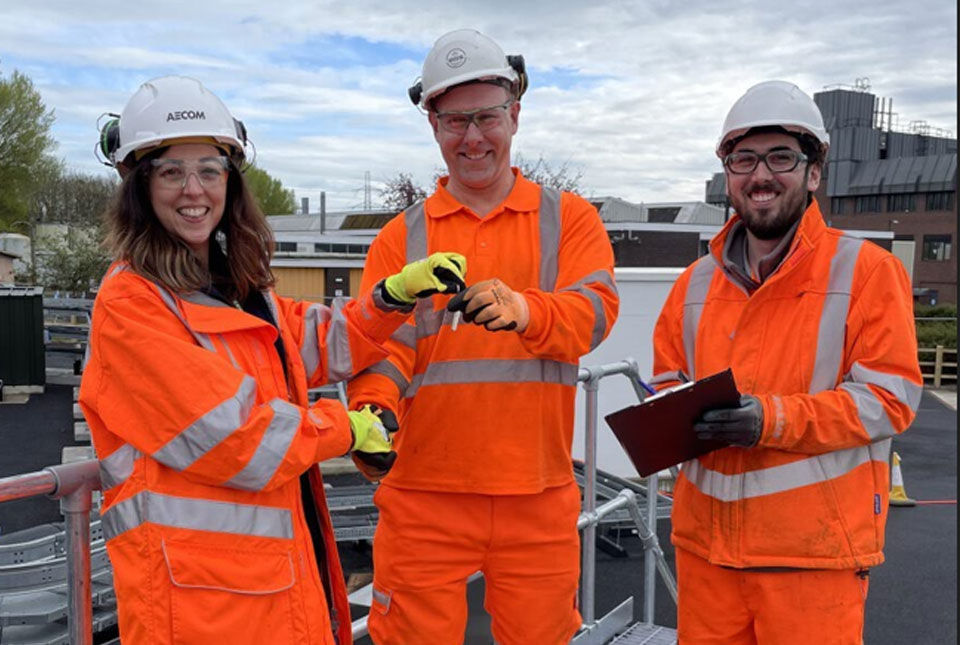
Local MP helps BGS launch a ‘living laboratory’
05/03/2024
BGS is implementing a low-carbon heating system to help meet its net zero targets and provide data to the public.
Scientists produce first record of environmental data off coast of Hawai’i
01/03/2024
An international team of researchers, including BGS geoscientists, have succeeded in acquiring a continuous record of environmental data using fossilised coral from Hawai’i.
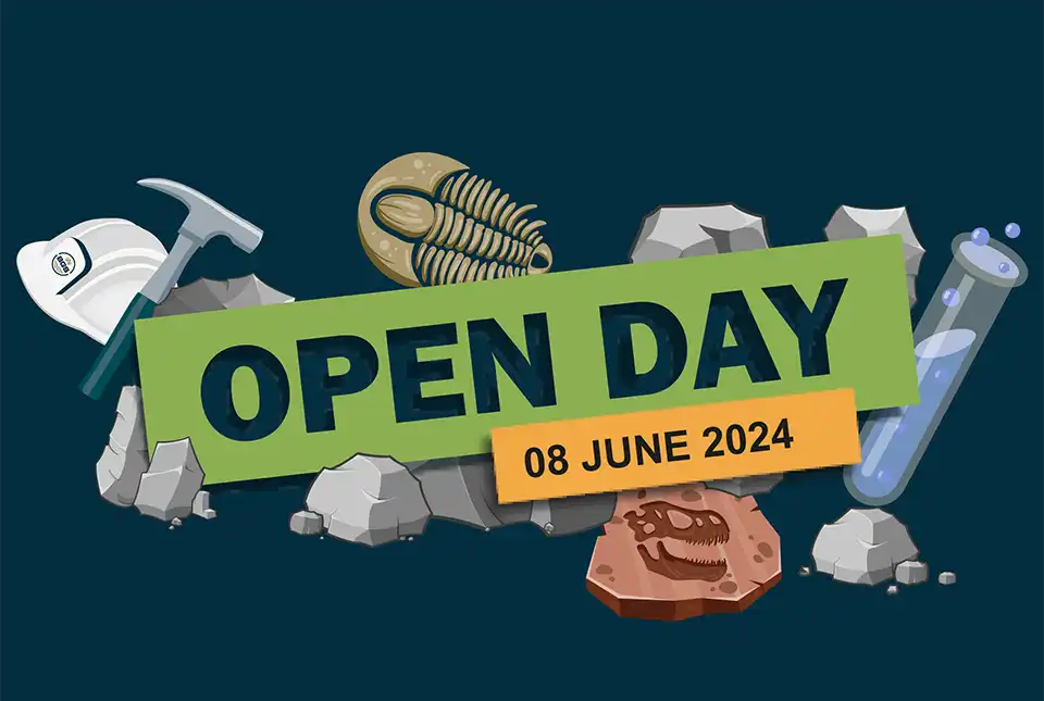
BGS Open Day 2024
Event on 08/06/2024
Join us on 8 June 2024 to explore volcanoes and earthquakes, soils and aquifers, the sea, the sky and everything in between!