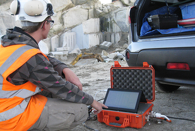
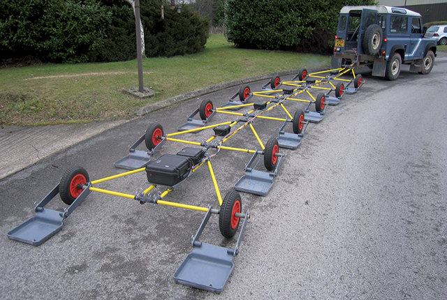
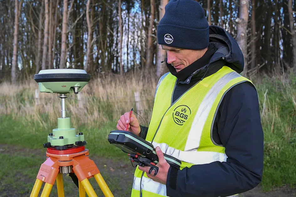
BGS Geophysical Tomography (GTom) provides leading-edge technology for non-invasive, geoelectrical imaging of the shallow subsurface.
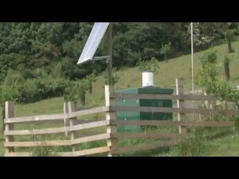
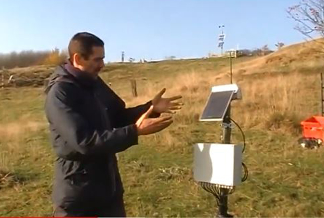
The techniques (instrumentation, software and methodologies) developed by GTom are used to underpin studies in infrastructure monitoring, waste management, contaminated land remediation and the protection of groundwater and soils, as well as the detection and mitigation of natural hazards. Our PRIME technology permits complex earth systems and processes to be monitored remotely using permanent, in situ sensor networks and wireless telemetry.


BGS Geophysical Tomography: an introduction.
Find out more about our research
Applications
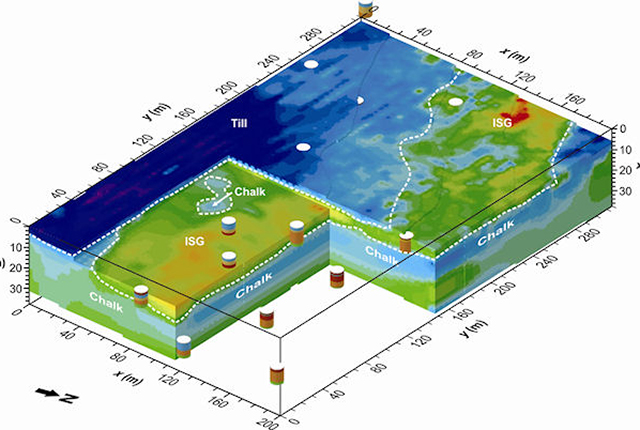
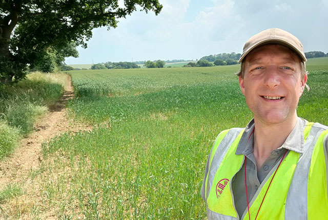
Applications range from mineral exploration and waste management, to monitoring active processes within the subsurface, such as the movement of pollutants, or the flow of groundwater in unstable slopes affecting infrastructure.
Technologies
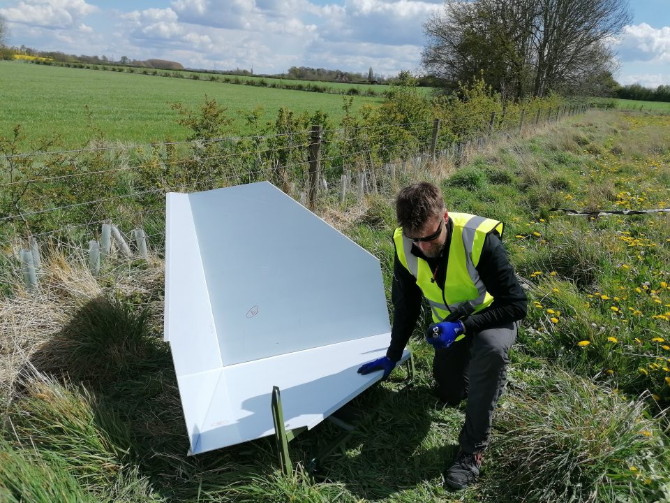
Creating innovative technologies with in the field of geophysical and geotechnical monitoring.
Our projects
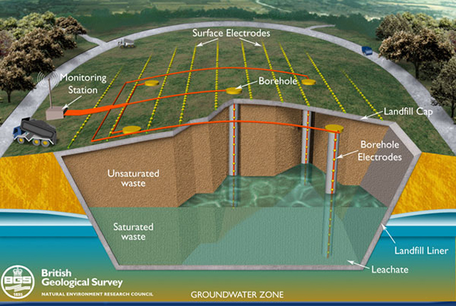
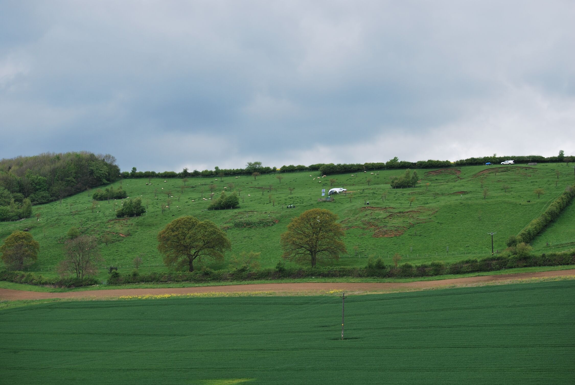
Waste management ALERT project
Thw Waste Management ALERT project aims to develop a non-invasive, 4D, electrical imaging system for automated time-lapse monitoring of landfill sites.
Contaminated land ALERT
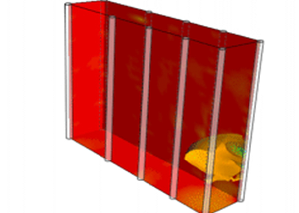
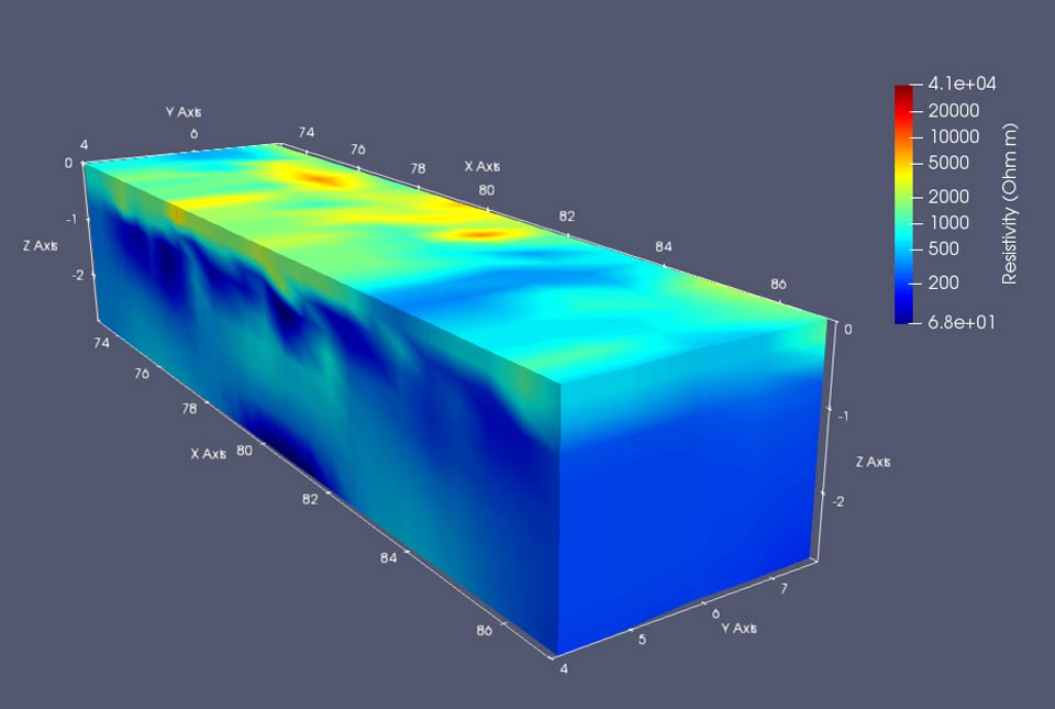
Time-lapse geoelectrical imaging has the potential to produce volumetric, time-dependent maps of contaminant distributions for use in contaminated land remediation.
SENSOR NET
Studying soil moisture content via sensor networks to design the most efficient sample network.

PhD students and graduates
John Ball
‘Use of geophysics for the monitoring of earthen water retaining structures’
Jimmy Boyd
‘Coupled hydrogeophysical and geomechanical modelling of slope stability for improve early warning of landslides’
LinkedIn
Jessica Holmes
‘The use of near-surface geophysical methods for assessing the condition of transport infrastructure’
Alex Priestley
‘Assimilation of geophysical data in snow hydrology modelling
Luke Sibbett
‘Early warning landslide events using computer vision and geophysical image analysis’
Adrian White
‘Seeing inside flood embankments – novel geophysical imaging approaches for assessing the health of safety-critical flood defence infrastructure’
Twitter
LinkedIn
Mihai Cimpoiasu
‘Combining geoelectrical imaging and X-ray computed tomography (CT) for improved hydraulic characterization of soils’
LinkedIn
Paul McLachlan
‘Revealing hydrological and biogeochemical heterogeneity at the groundwater-surface water interface using geophysics’
ResearchGate
LinkedIn
Michael Tso
‘Enhancing information content in geophysical data for nuclear site characterisation’
ResearchGate
Jim Whiteley
‘Geophysical indicators of slope stability: towards improved early warning of landslide hazards’
Related news
‘Three norths’ set to leave England and not return for hundreds of years
12/12/2025
The historic alignment of true, magnetic, and grid north is set to leave England, three years after they combined in the country for the first time since records began.

First distributed acoustic sensing survey completed at UK Geoenergy Observatory
12/11/2025
New research at the Cheshire Observatory has shown the potential for mapping thermal changes in the subsurface using sound waves.
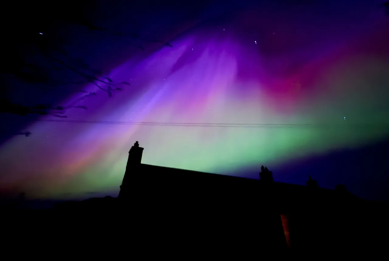
UK scientists in awe-rora as national coverage of magnetic field complete for the first time
23/09/2025
New sensors being installed across the UK are helping us understand the effects that extreme magnetic storms have on technology and national infrastructure.
BGS-led paper scoops prestigious award
16/09/2025
New research providing earlier warnings of landslides has been awarded the British Geotechnical Association medal.
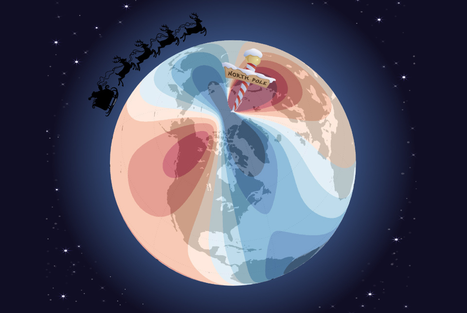
Airlines, shipping companies and sleigh drivers rush to update crucial navigation systems ahead of Christmas rush
17/12/2024
Release of major upgrade to a new model tracking magnetic north prompts global reset of satellite tracking systems across trade and passenger transport routes.

Electromagnetic geophysics in Japan: a conference experience
23/10/2024
Juliane Huebert took in the fascinating sights of Beppu, Japan, while at a geophysics conference that uses electromagnetic fields to look deep into the Earth and beyond.
New research hub announced as part of £160 million investment
08/10/2024
Focusing on quantum sensing, imaging and timing, the hub will be launched at the end of this year as part of an investment announced by the Science Secretary.
New BGS Chief Scientist for multi-hazards and resilience announced
09/05/2024
Prof Jonathan Chambers has been appointed as the new BGS Chief Scientist for multi-hazards and resilience, effective from 1 June 2024.
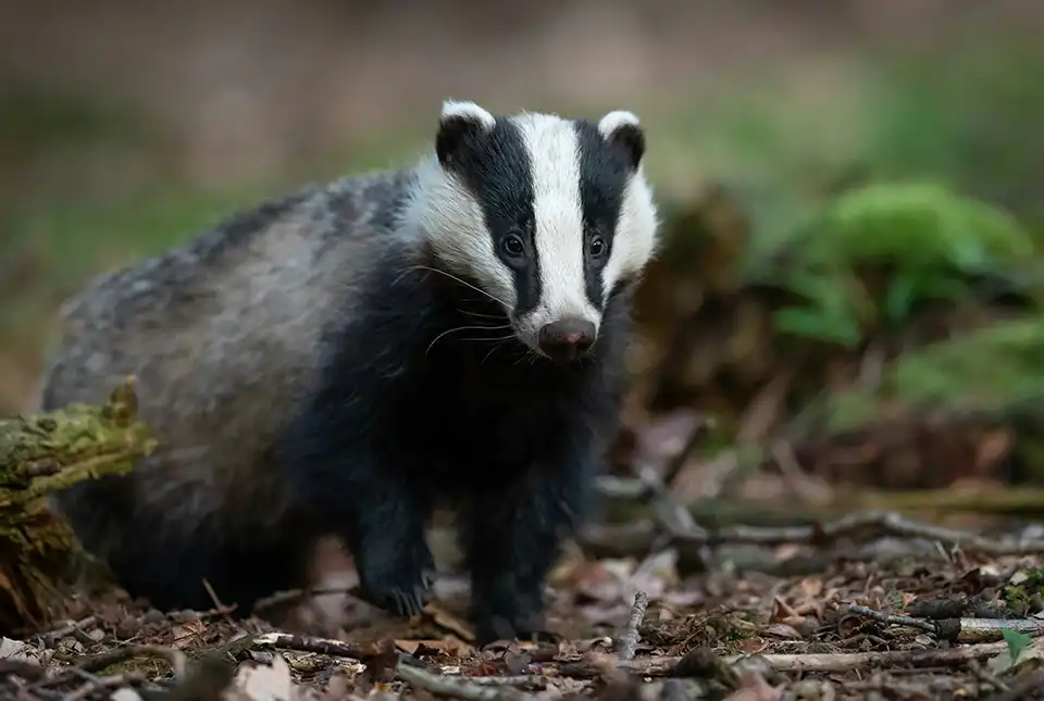
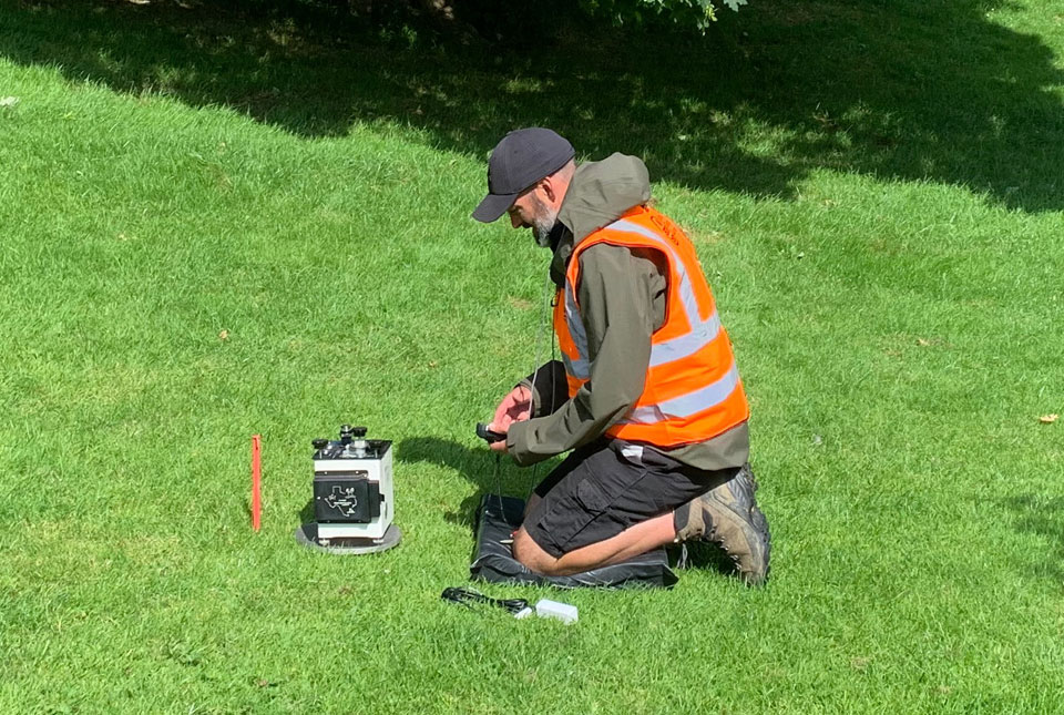
Burrow-detecting devices could protect flood defences
23/01/2024
BGS scientists have trialled a new way of detecting animal burrows in clay flood embankments.
Can geophysics help feed people in a changing climate?
09/11/2021
Conservation agriculture and electrical resistivity tomography could help combat the factors affecting food security in southern Africa.
Back out in the field with Tromino
18/08/2021
Steve Thorpe discusses returning to fieldwork after the COVID-19 pandemic and trying out the Tromino kit.
BGS to help further carbon dioxide monitoring research at Sutton Bonington
03/08/2021
BGS is part of a research project that will consider the feasibility of using quantum gravity sensors to monitor carbon capture and storage sites.
You may also be interested in
Shallow geohazards
Measuring, recording and analysing near-surface geological hazards including landslides, sinkholes and discontinuities.
Geodesy and Earth observation
Developing and using innovative Earth observation techniques to characterise and monitor Earth processes that affect lives and livelihoods.